
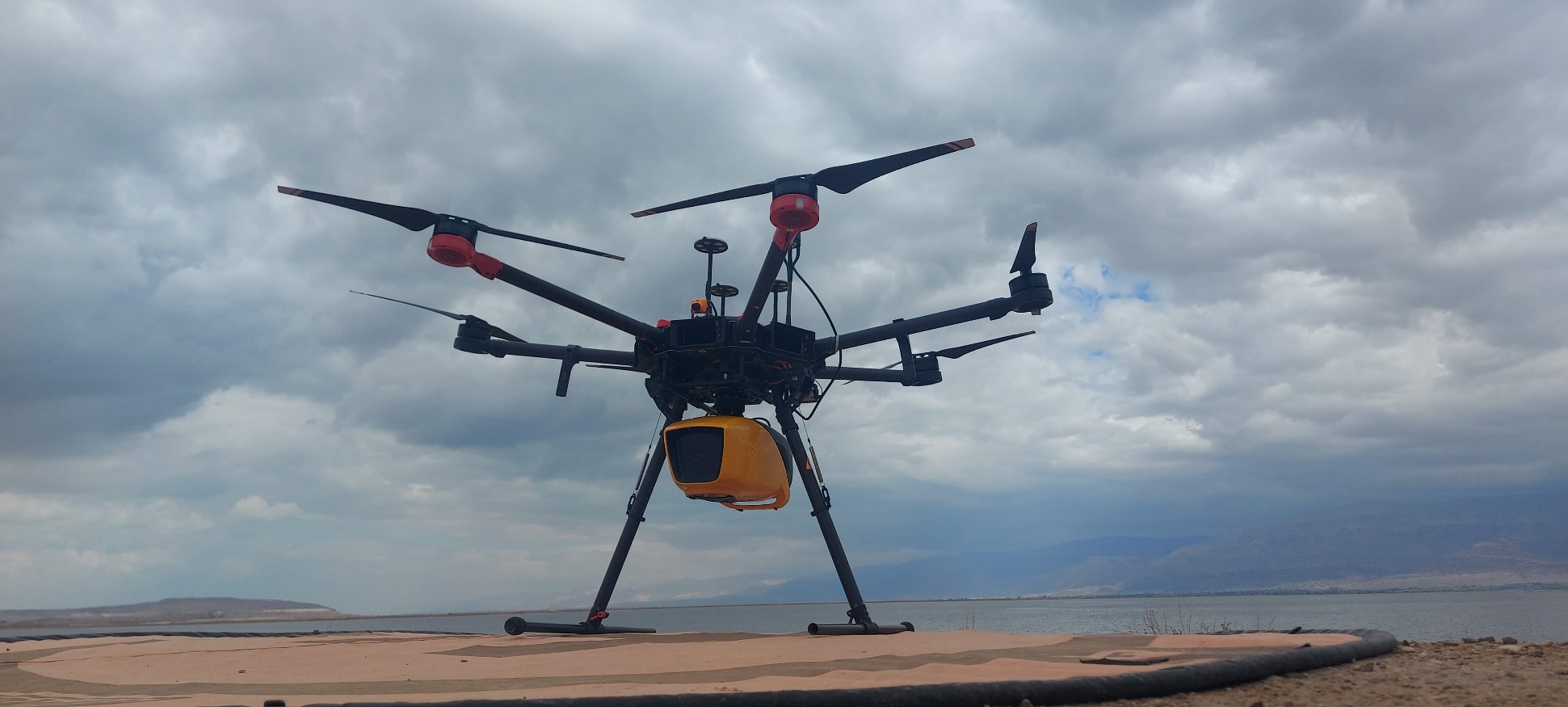
Yarkon River Topo-Bathymetric Mapping
Integrated mapping of riverbank, shallow transition zones, and underwater terrain.
View project →Founder
I founded DynamicSense to bring agile, innovative solutions to the world’s most complex and sensitive environments. By bridging advanced data acquisition and deep analysis, we provide the precise, actionable insight that traditional mapping cannot reach. Whether uncovering hidden archaeological sites or monitoring shifting riverbeds, I am driven by helping clients understand and protect vital landscapes.
Profile
I founded DynamicSense to bring agile, innovative solutions to the world’s most complex and sensitive environments. By bridging advanced data acquisition and deep analysis, we provide the precise, actionable insight that traditional mapping cannot reach. Whether uncovering hidden archaeological sites or monitoring shifting riverbeds, I am driven by helping clients understand and protect vital landscapes.
Connected expertise
Related work
Integrated mapping of riverbank, shallow transition zones, and underwater terrain.
View project →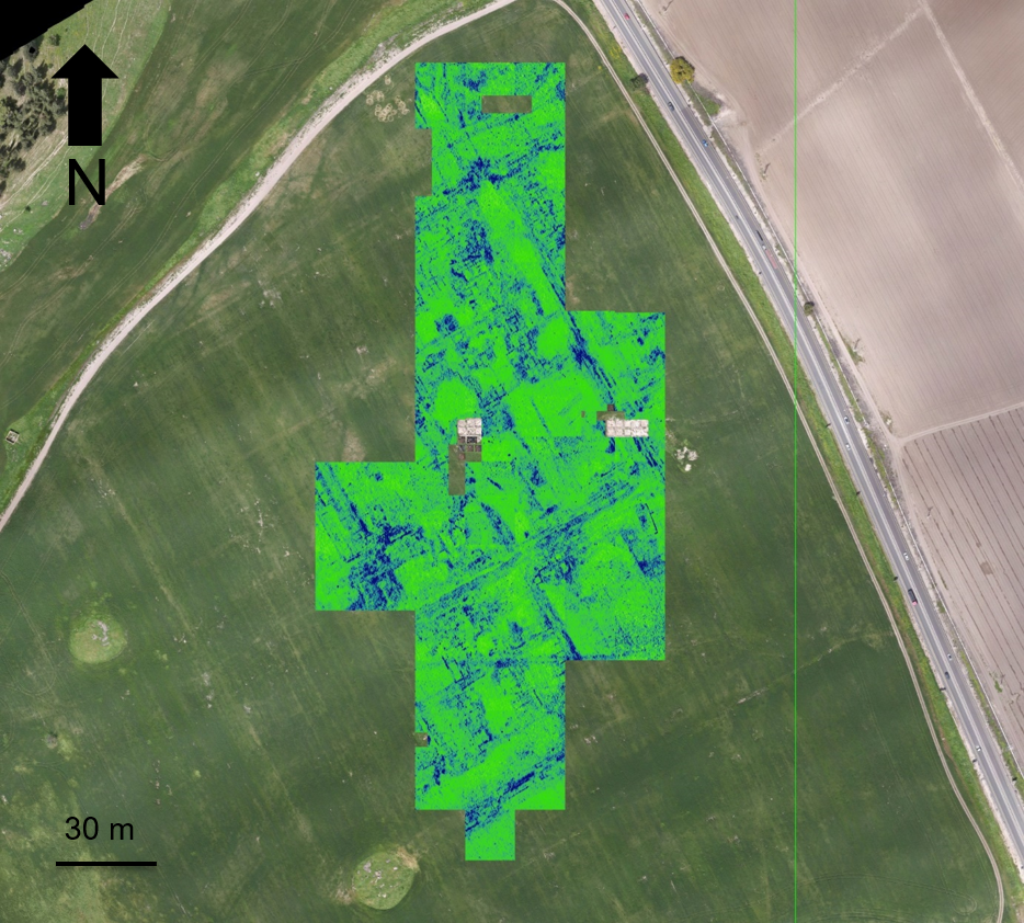
Non-invasive surface and subsurface mapping of archaeological features.
View project →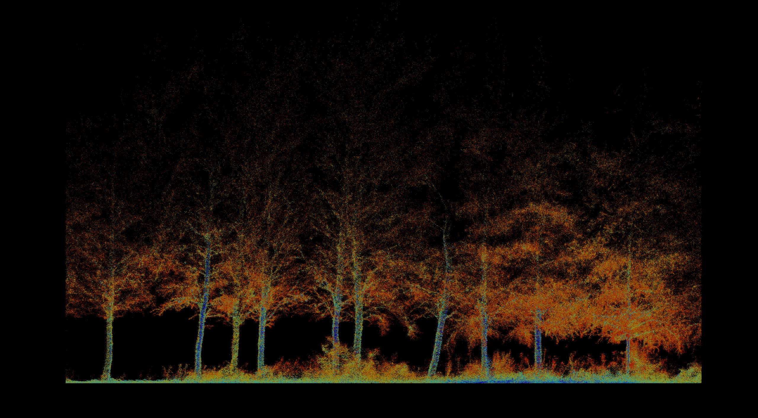
Pre-thinning inventory, forest structure, tree condition, and repeat monitoring.
View project →
High-resolution 3D documentation of reservoir geometry in a GPS-denied environment.
View project →Repeat topographic monitoring of bank position, terrain, and landscape change.
View project →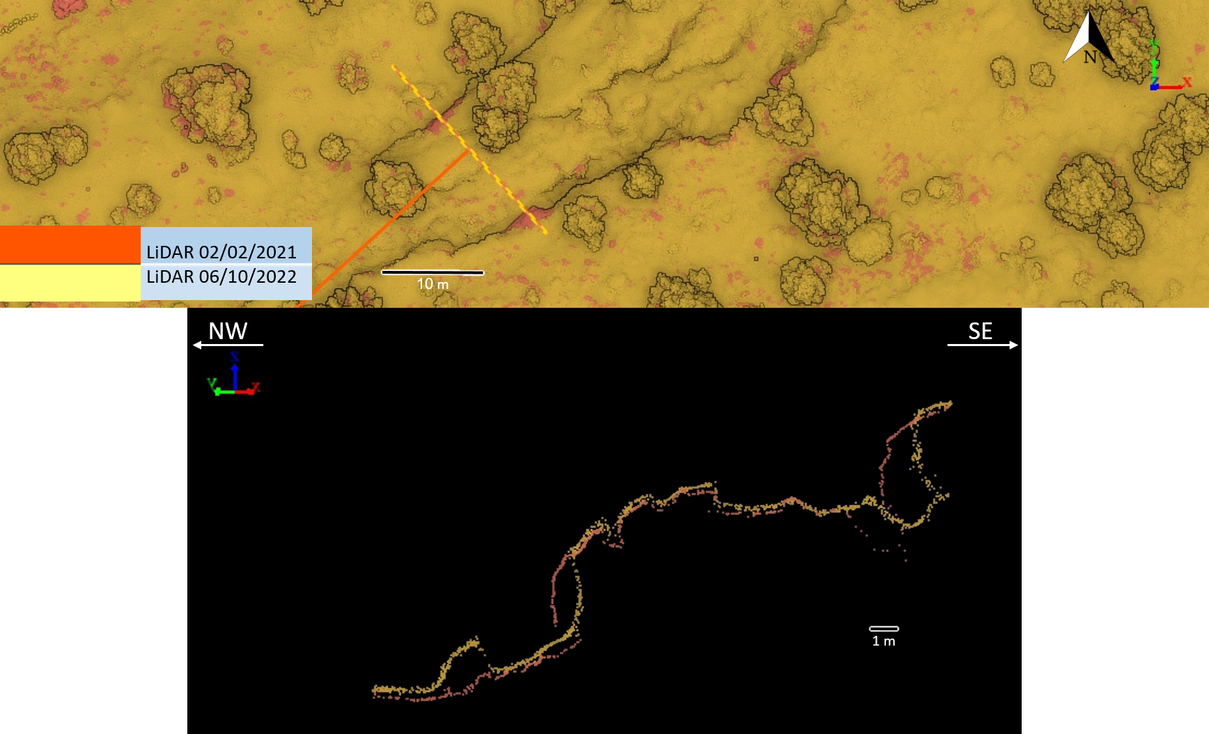
Repeat high-resolution terrain acquisition and cross-section comparison.
View project →