
 01
01
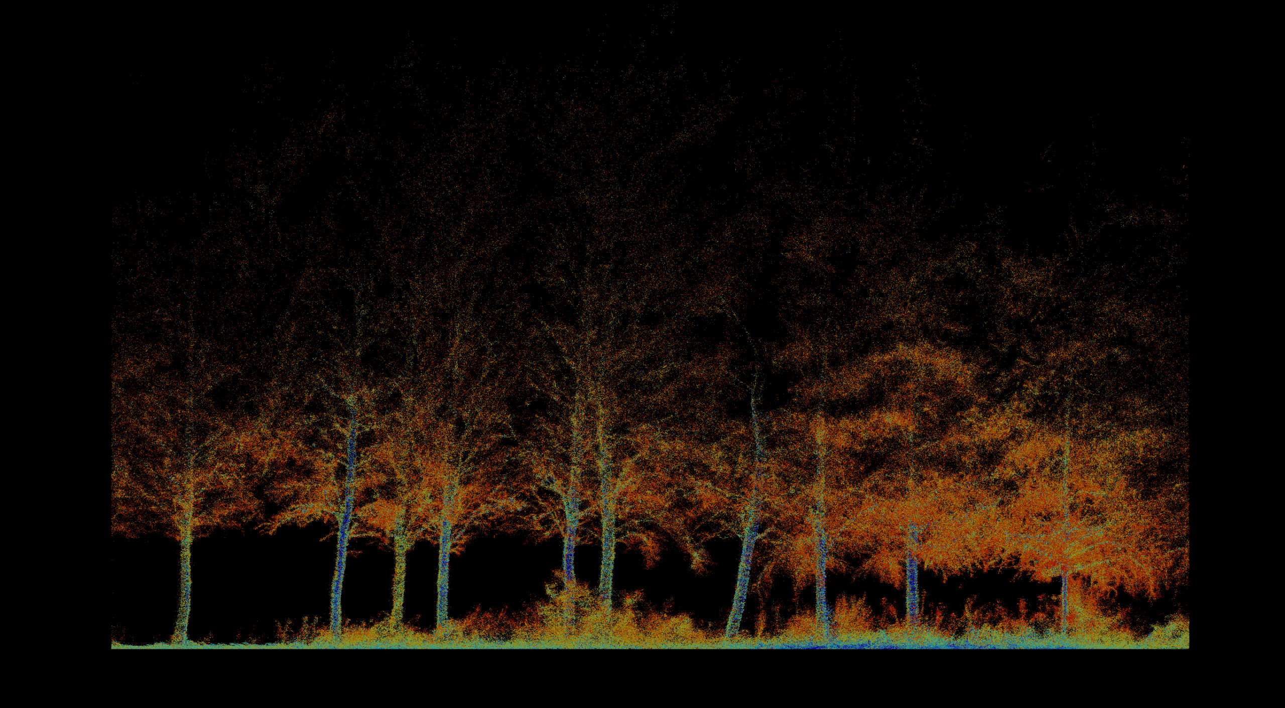
Forestry & Environmental Monitoring
Inventory, biomass, vegetation health, fire severity, terrain, and repeatable environmental change.
Explore solution →Technology & capability
Survey-grade terrain mapping from local drone missions to regional fixed-wing acquisition.

The technical edge
High-frequency, multi-return laser pulses penetrate dense vegetation to map the true ground surface.
Strategic advantage
Delivers engineering-grade digital terrain models at scales ranging from a focused site to thousands of square kilometers.
System profile
The data gap solved
Reveals ground topography beneath canopy where conventional aerial imagery records only vegetation.
Client advantage
One acquisition creates an accurate structural foundation for inventory, hydrology, erosion, access, and long-term change analysis.
Structured outputs
Applied in
01
Inventory, biomass, vegetation health, fire severity, terrain, and repeatable environmental change.
Explore solution →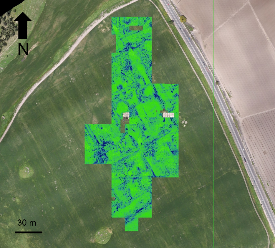 02
02
Non-invasive discovery, surface-to-subsurface modeling, and centimeter-accurate site documentation.
Explore solution →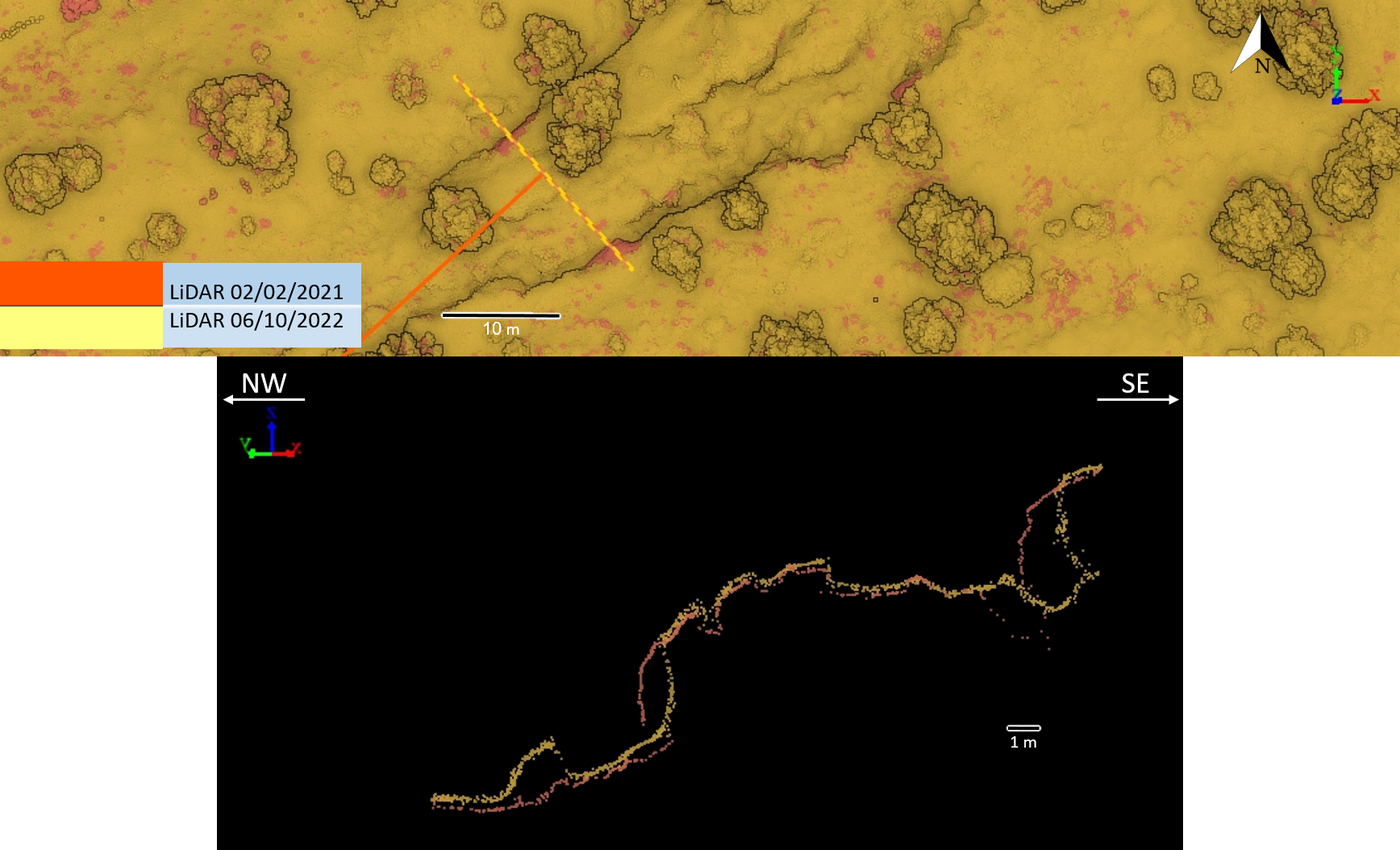 03
03
Survey-grade mapping for planning, landslides, tunnels, marine assets, and natural or semi-natural infrastructure corridors.
Explore solution →Project evidence
Non-invasive surface and subsurface mapping of archaeological features.
View project →
Pre-thinning inventory, forest structure, tree condition, and repeat monitoring.
View project →Repeat topographic monitoring of bank position, terrain, and landscape change.
View project →
Repeat high-resolution terrain acquisition and cross-section comparison.
View project →