
Overview
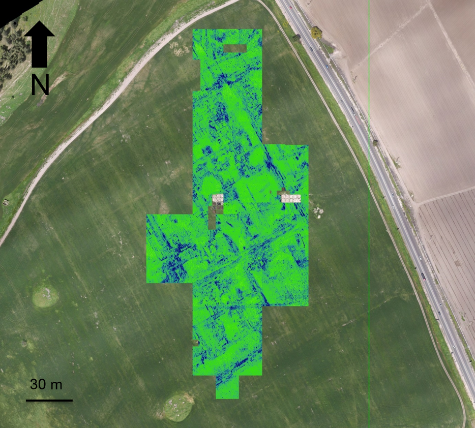
Connect surface topography, vegetation response, thermal and multispectral evidence, radar, and underground 3D capture into one spatial narrative.
Solution
Non-invasive discovery, surface-to-subsurface modeling, and centimeter-accurate site documentation.
Overview
Connect surface topography, vegetation response, thermal and multispectral evidence, radar, and underground 3D capture into one spatial narrative.
The challenge
Significant structures can be buried, concealed by canopy, or distributed between surface and underground spaces. Conventional discovery can be slow and invasive.
Our approach
We combine aerial LiDAR, multispectral and thermal imaging, GPR, handheld LiDAR, orthomosaics, and cross-section analysis around the research question.
The intelligence
Raster analysis and smart segmentation identify geometric anomalies, crop marks, moisture patterns, buried features, and the connection between visible and hidden structures.
The value
Researchers receive a permanent digital record, better excavation targets, reduced disturbance, and clearer safety information before entering fragile areas.
Structured outputs
Connected technology
Related work
Non-invasive surface and subsurface mapping of archaeological features.
View project →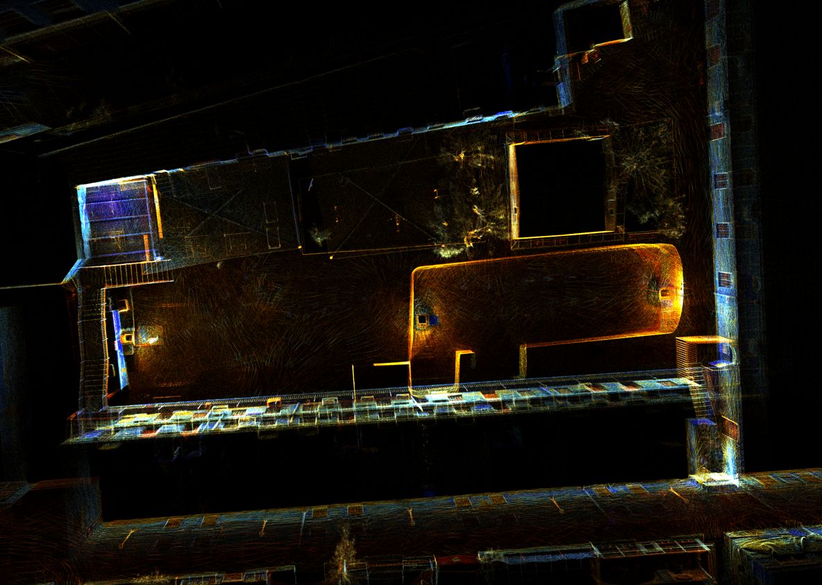
High-resolution 3D documentation of reservoir geometry in a GPS-denied environment.
View project →Consultation
We will help frame the acquisition, analysis, and decision-support workflow around your site.
Consult an expert →