
The challenge
The river environment combines shallow water, banks, vegetation, and access restrictions that leave gaps between conventional land survey and sonar.
Field project
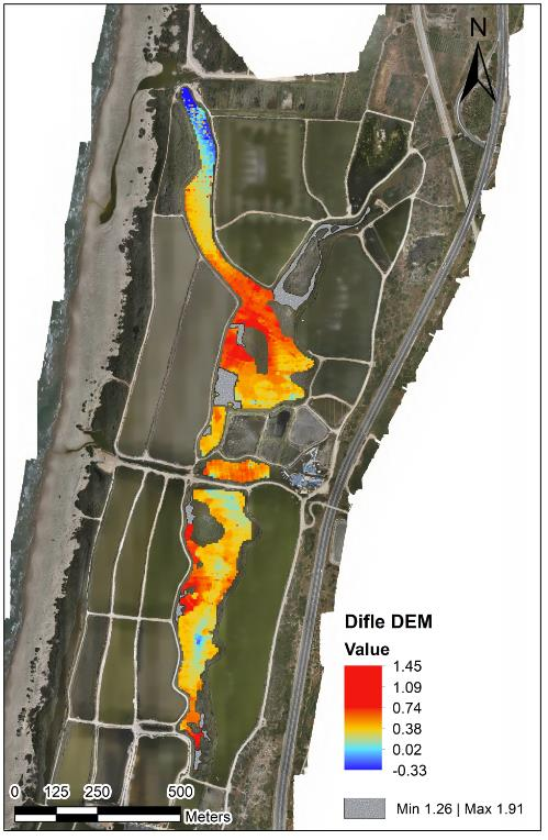
Integrated mapping of riverbank, shallow transition zones, and underwater terrain.
The challenge
The river environment combines shallow water, banks, vegetation, and access restrictions that leave gaps between conventional land survey and sonar.
The DynamicSense intervention
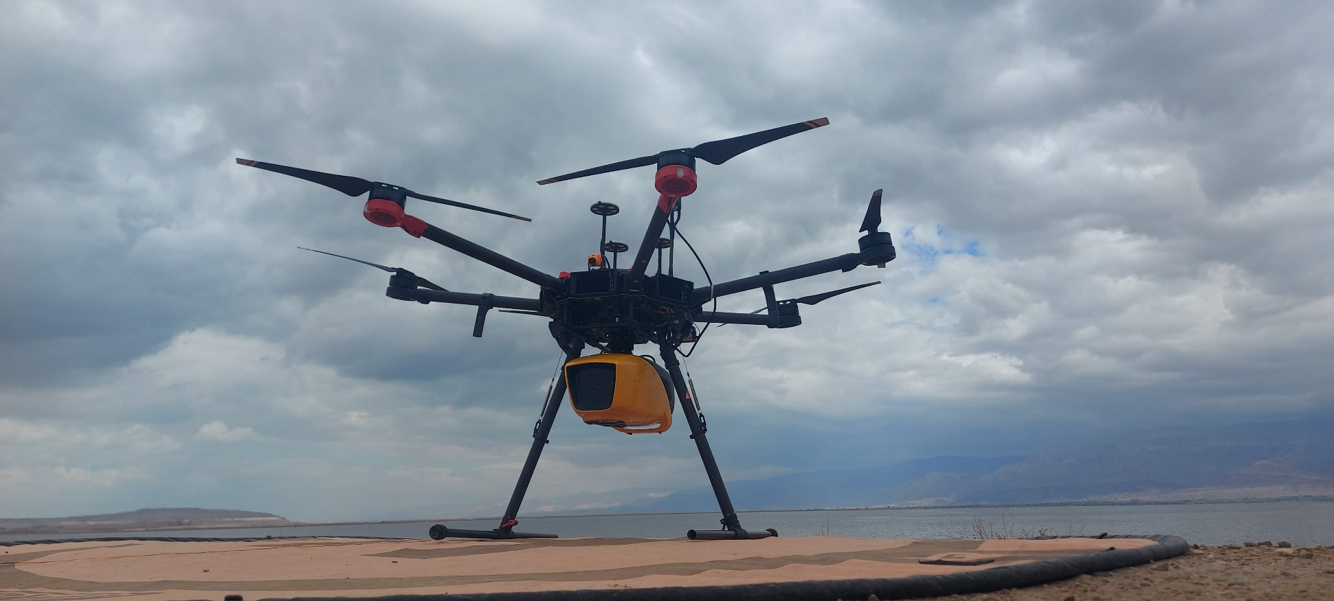
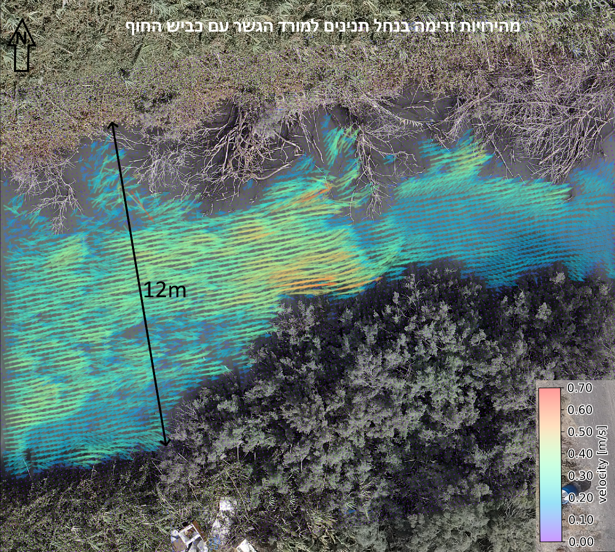
DynamicSense selected a mission-specific combination of Green Wave LiDAR, bathymetry processing, and hydrometric analysis to build one spatial reference across the transition zone.
Outcomes & decision support
The resulting model supports erosion, sediment, hydraulic, maintenance, and infrastructure decisions without treating each environment as a disconnected survey.
Structured outputs
Project imagery
Connected content
Consultation
We will help identify the right combination of capture, analysis, and deliverables.
Consult an expert →