
 01
01
Water Reservoirs & Coastal Monitoring
Bathymetry, sediment, water level, flow, sampling, erosion, capacity, and marine-infrastructure mapping.
Explore solution →Technology & capability
Seamless, high-resolution mapping from dry land through the surf zone to the seabed or riverbed.
The technical edge
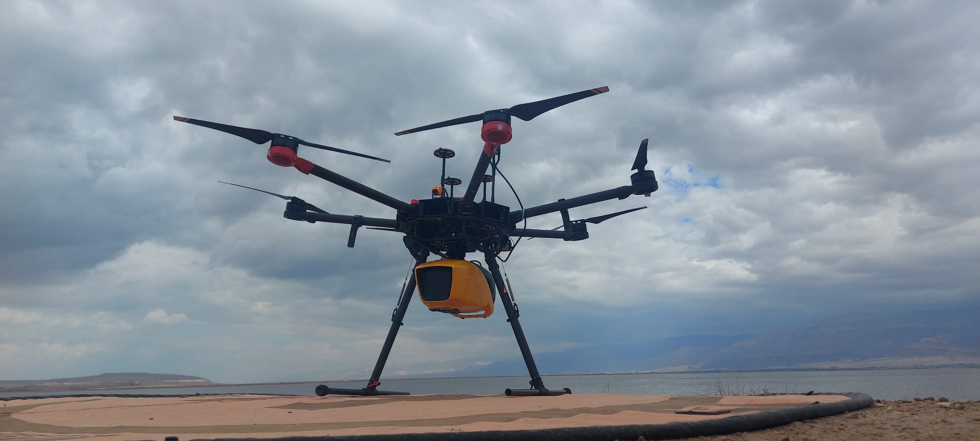
A specialized green-spectrum laser penetrates the water column and connects topography with bathymetry in one acquisition.
Strategic advantage
Eliminates the transition-zone blind spot left between conventional land survey and boat-based sonar.
System profile
The data gap solved
Captures the critical land-water transition where sonar access and conventional land survey both become unreliable.
Client advantage
A single spatial model supports engineering, erosion, sediment, capacity, and marine-infrastructure decisions.
Structured outputs
Applied in
01
Bathymetry, sediment, water level, flow, sampling, erosion, capacity, and marine-infrastructure mapping.
Explore solution →Project evidence
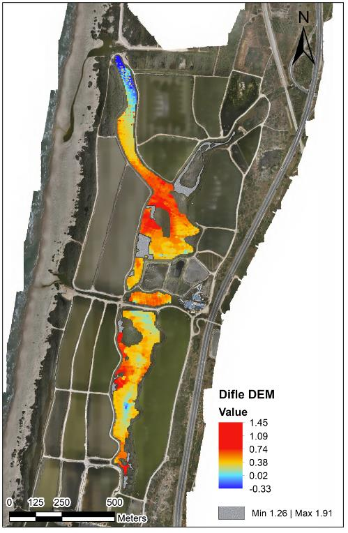
Integrated mapping of riverbank, shallow transition zones, and underwater terrain.
View project →