
Overview
We support engineering and planning where infrastructure intersects complex terrain rather than positioning DynamicSense as a conventional civil-design supplier.
Solution
Survey-grade mapping for planning, landslides, tunnels, marine assets, and natural or semi-natural infrastructure corridors.
Overview
We support engineering and planning where infrastructure intersects complex terrain rather than positioning DynamicSense as a conventional civil-design supplier.
The challenge
Shadow zones, steep ground, vegetation, water, and GPS-denied spaces create gaps in conventional as-built and planning data.
Our approach
Aerial and handheld LiDAR, high-resolution imagery, repeat surveys, and GIS analysis create an accurate, connected record of terrain and built geometry.
The intelligence
Digital twins, cross-sections, terrain interpretation, trafficability, and temporal change analysis turn raw scans into planning and monitoring evidence.
The value
Teams gain construction-ready or planning-ready spatial information for high-stakes decisions in environments where incomplete survey data creates risk.
Structured outputs
Connected technology
Related work
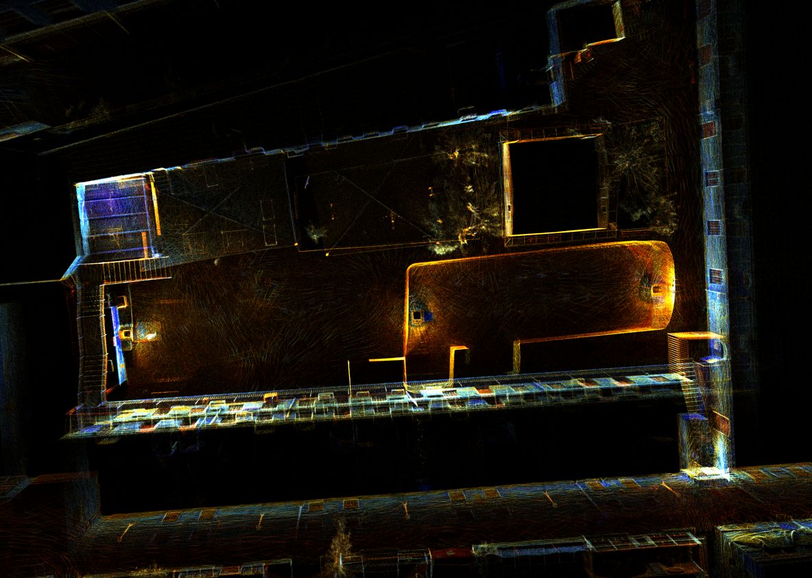
High-resolution 3D documentation of reservoir geometry in a GPS-denied environment.
View project →
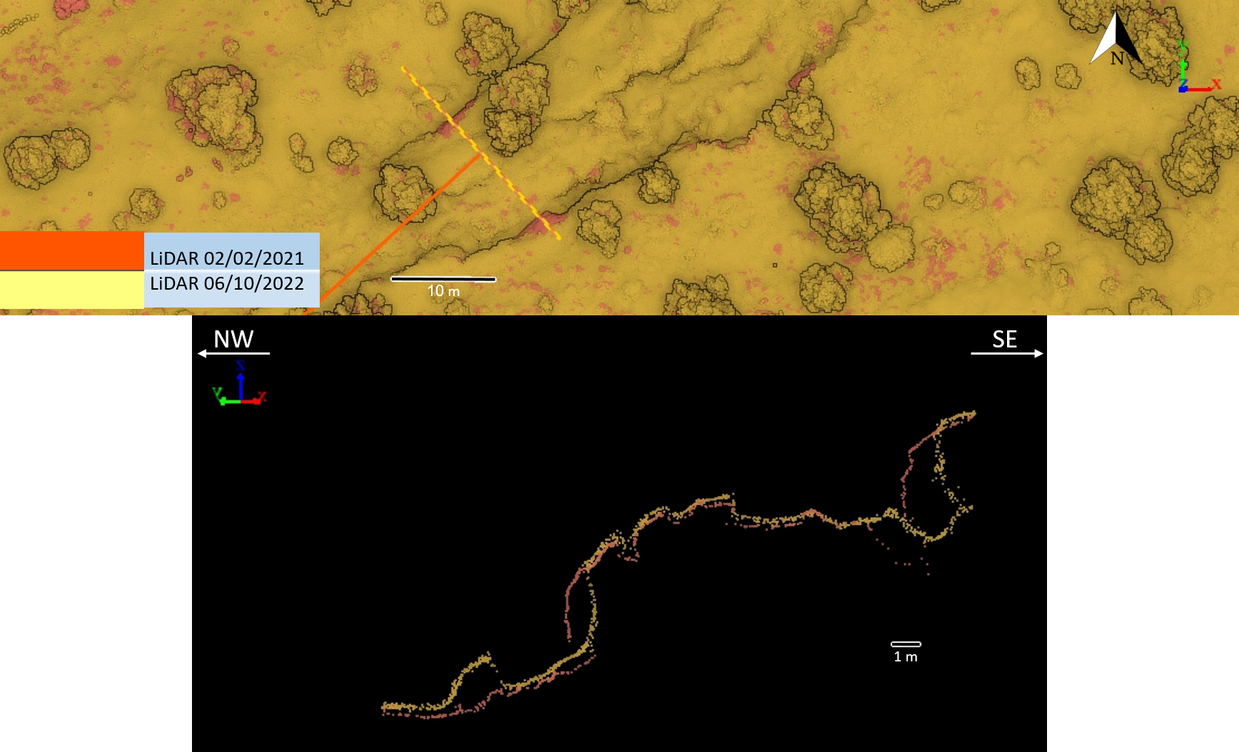
Repeat high-resolution terrain acquisition and cross-section comparison.
View project →Consultation
We will help frame the acquisition, analysis, and decision-support workflow around your site.
Consult an expert →