
The how
Sensors are only useful when they answer the question.
From regional airborne LiDAR to handheld scanning, bathymetry, spectral imagery, hydrometry, and satellite monitoring.
Our instruments
A modular sensing and analytical stack.
Technology records hold the technical edge, platform, precision, environmental fit, outputs, and every related solution and project. The list below is ordered and managed from this page.
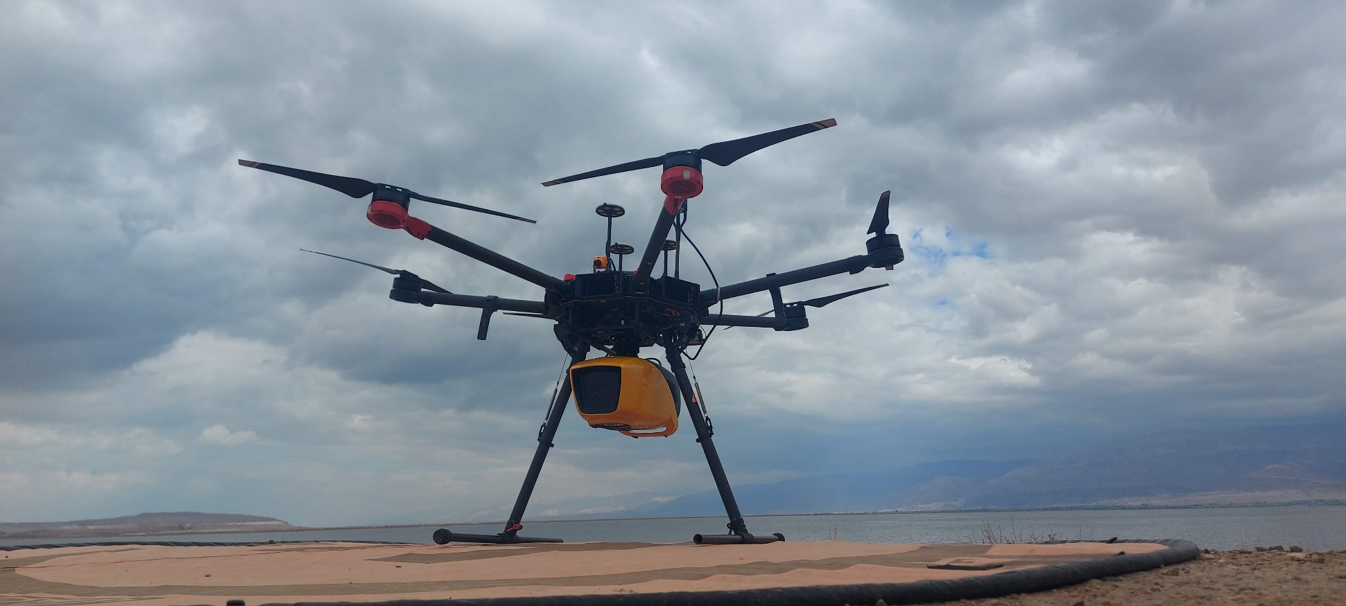
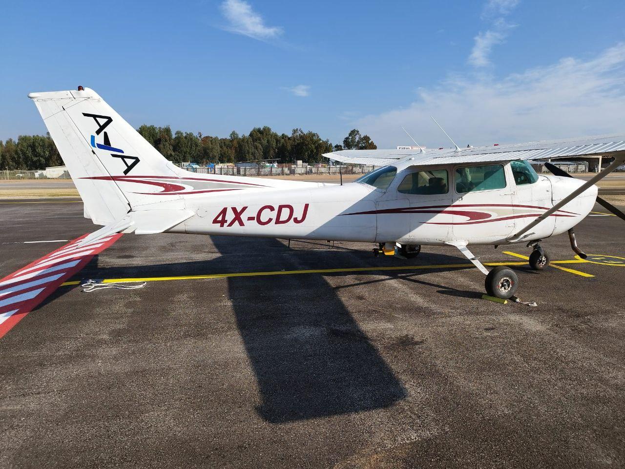
01Aerial Topographic LiDAR
Survey-grade terrain mapping from local drone missions to regional fixed-wing acquisition.
- Platform
- Drone and fixed-wing airborne LiDAR systems
- Precision
- Engineering precision / survey grade
02Mobile & Handheld LiDAR
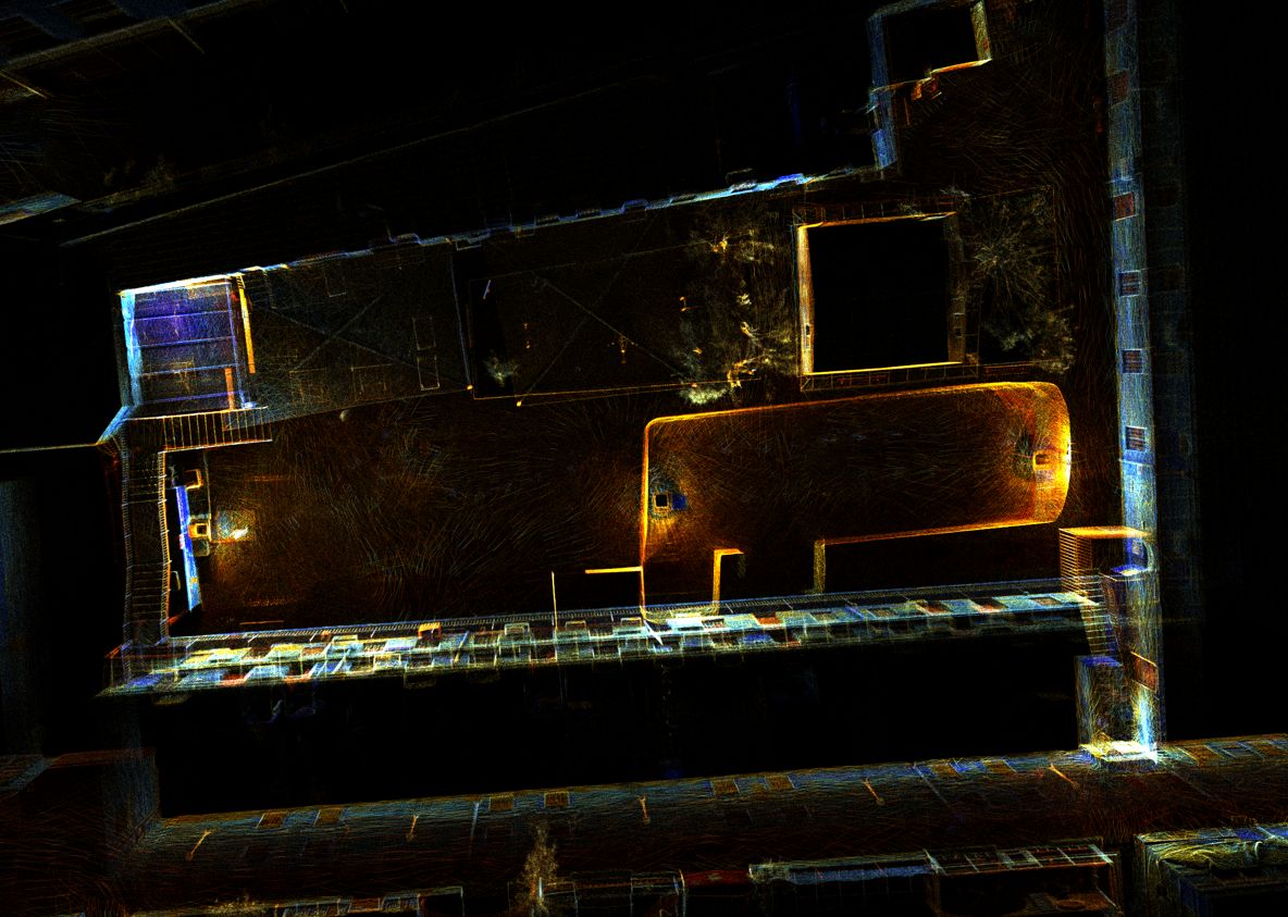
Rapid, textured 3D scanning for GPS-denied interiors, tunnels, caves, and complex structural shadows.
- Platform
- Handheld and mobile SLAM LiDAR
- Precision
- Centimeter-grade colorized 3D capture
03Topo-Bathymetric (Green Wave) LiDAR
Seamless, high-resolution mapping from dry land through the surf zone to the seabed or riverbed.
- Platform
- YellowScan Navigator-class drone-mounted topo-bathymetric LiDAR
- Precision
- Centimeter-level engineering precision under suitable water conditions
04Survey-Grade RGB, Multispectral & Thermal Imaging
Centimeter-accurate visual and spectral data for documentation, vegetation health, moisture, and hidden-feature detection.
- Platform
- Survey-grade RGB, multispectral, and thermal cameras
- Precision
- Centimeter-accurate georeferencing
05Bathymetric Echosounder (SBES)
Drone-integrated dual-frequency sonar for accurate depth profiles and soft-sediment thickness.
- Platform
- Drone-mounted dual-frequency single-beam echosounder
- Precision
- Hydrographic precision for depth and sediment profiling

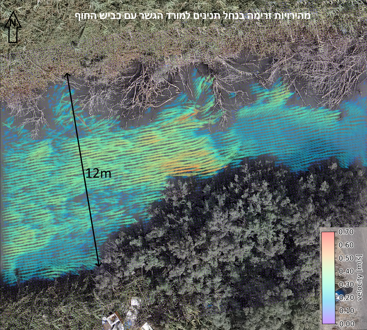
06Precision Hydrometry: Level & Flow
Drone-based water-level measurement and non-contact surface-flow analysis for dynamic rivers and streams.
- Platform
- Drone survey platform and video-based surface-flow analysis
- Precision
- Water level: ±2 mm; flow velocity reported in m/s
07Remote Water Sampling
Repeatable drone-based water collection at defined coordinates and depths.
- Platform
- Drone-mounted remote water-sampling system
- Precision
- GPS-referenced, repeatable sampling position and depth
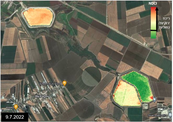
08Spaceborne Intelligence & Dashboard
Multi-temporal satellite analysis and interactive delivery for long-term environmental and infrastructure monitoring.
- Platform
- Satellite constellations, Google Earth Engine workflows, and web dashboards
- Precision
- Analytical grade, calibrated to the selected satellite source
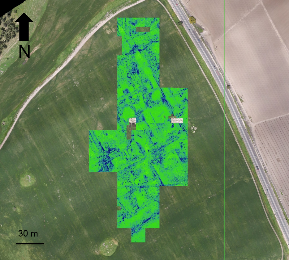
09Ground Penetrating Radar (GPR)
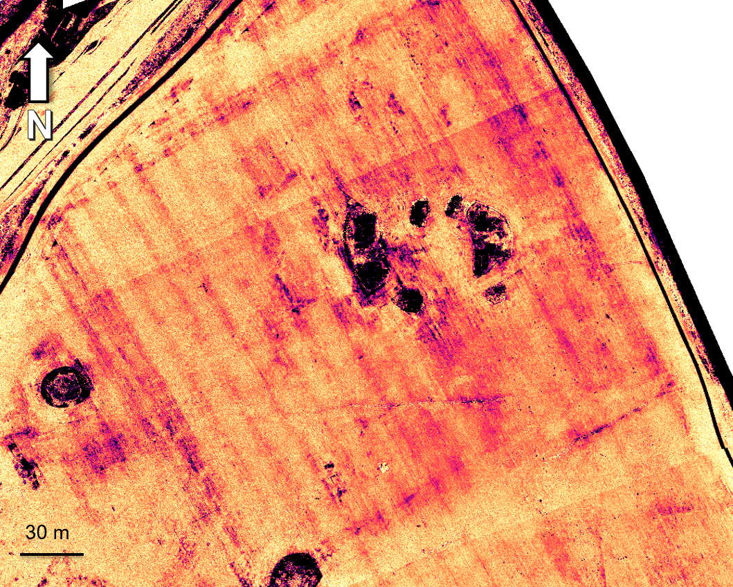
Non-invasive, depth-specific mapping of buried foundations, roads, voids, and archaeological features.
- Platform
- Ground-penetrating radar integrated with aerial and GIS control
- Precision
- Depth-specific subsurface interpretation
Designed around the question
Tool-agnostic by design.
The right solution may be an aircraft, a specialized drone, a handheld scanner, a sonar system, a satellite archive, or a simpler method. The question and operating conditions come first.