
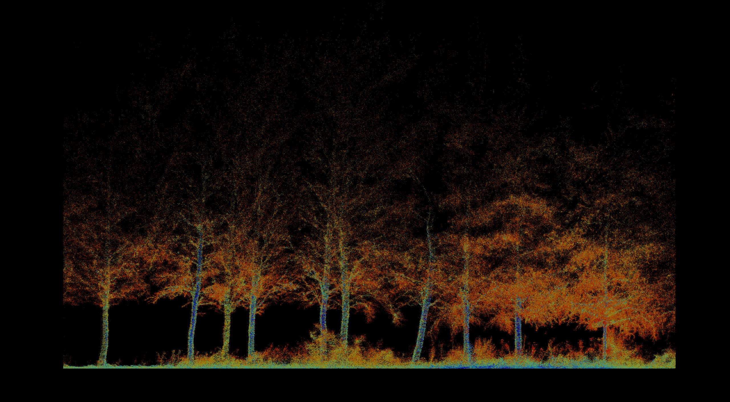
 01
01
Forestry & Environmental Monitoring
Inventory, biomass, vegetation health, fire severity, terrain, and repeatable environmental change.
Explore solution →Technology & capability
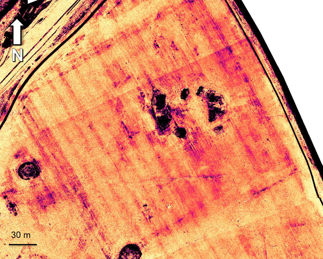
Centimeter-accurate visual and spectral data for documentation, vegetation health, moisture, and hidden-feature detection.
The technical edge
Calibrated RGB, multispectral, and thermal sensors capture information across visible and non-visible bands.
Strategic advantage
Turns subtle spectral differences into evidence of vegetation stress, crop marks, moisture anomalies, and buried structures.
System profile
The data gap solved
Reveals biological, moisture, and thermal patterns that are invisible in normal photography.
Client advantage
One calibrated dataset supports accurate documentation plus advanced analytical layers.
Structured outputs
Applied in
01
Inventory, biomass, vegetation health, fire severity, terrain, and repeatable environmental change.
Explore solution →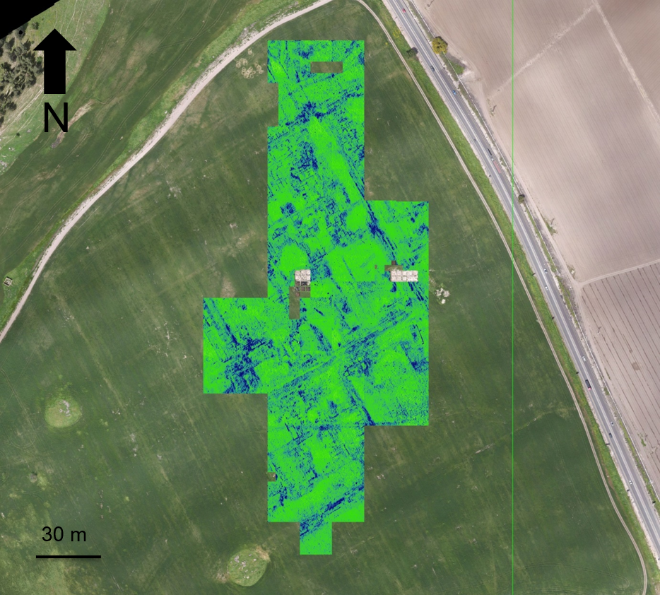 02
02
Non-invasive discovery, surface-to-subsurface modeling, and centimeter-accurate site documentation.
Explore solution →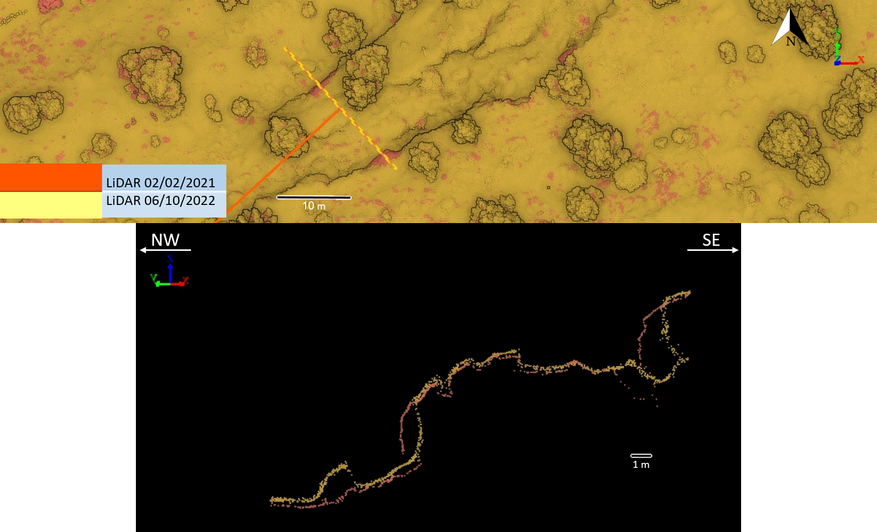 03
03
Survey-grade mapping for planning, landslides, tunnels, marine assets, and natural or semi-natural infrastructure corridors.
Explore solution →Project evidence
Non-invasive surface and subsurface mapping of archaeological features.
View project →
Pre-thinning inventory, forest structure, tree condition, and repeat monitoring.
View project →Repeat topographic monitoring of bank position, terrain, and landscape change.
View project →