
 01
01
Water Reservoirs & Coastal Monitoring
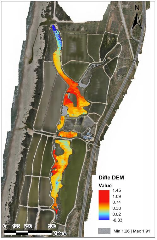
Bathymetry, sediment, water level, flow, sampling, erosion, capacity, and marine-infrastructure mapping.
Explore solution →Technology & capability
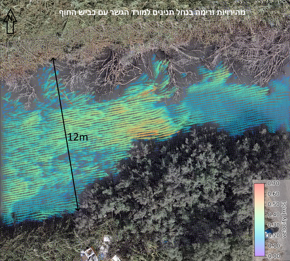
Drone-based water-level measurement and non-contact surface-flow analysis for dynamic rivers and streams.
The technical edge
High-resolution elevation control provides water-level measurement to ±2 mm, while drone video supports surface-flow velocity analysis.
Strategic advantage
Measures hydrological behavior without installing fixed equipment or placing personnel in moving water.
System profile
The data gap solved
Captures level and surface movement without putting instruments or crews into hazardous water.
Client advantage
Provides a repeatable basis for hydrology, safety, calibration, and change monitoring.
Structured outputs
Applied in
01
Bathymetry, sediment, water level, flow, sampling, erosion, capacity, and marine-infrastructure mapping.
Explore solution →Project evidence
Integrated mapping of riverbank, shallow transition zones, and underwater terrain.
View project →