
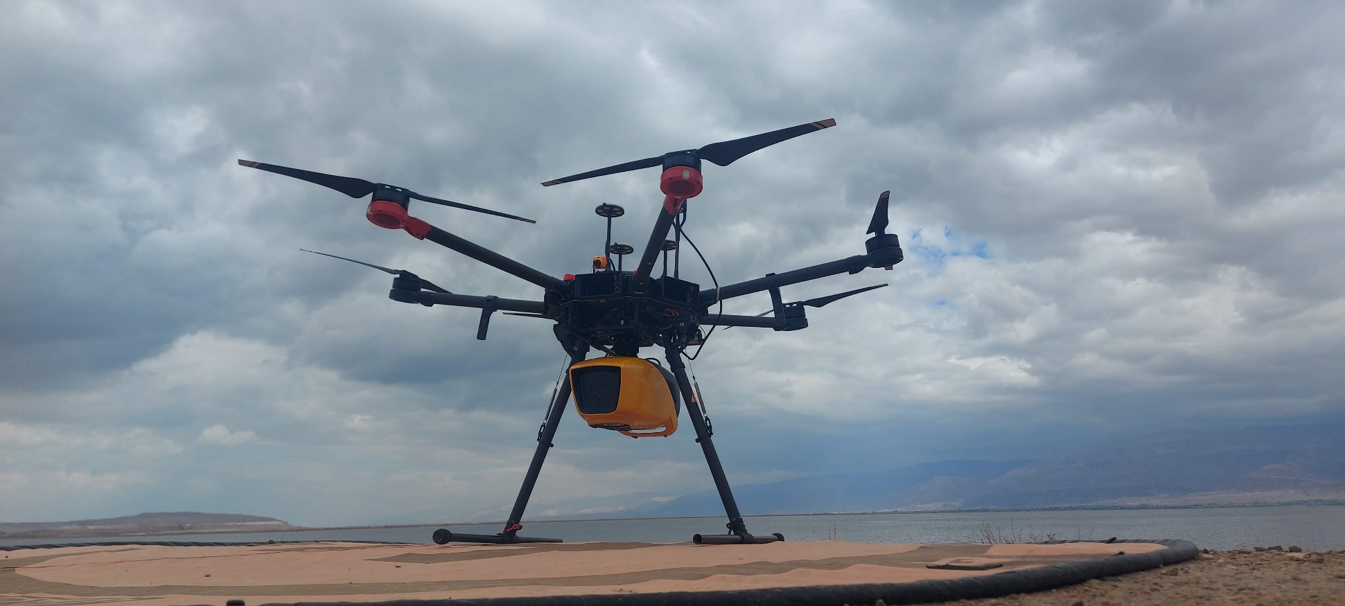
Yarkon River Topo-Bathymetric Mapping
Integrated mapping of riverbank, shallow transition zones, and underwater terrain.
View project →The proof
Selected work across rivers, reservoirs, forests, archaeology, underground structures, erosion, and ground movement.
Project evidence
Every project owns its scope, goal, location, status, environmental context, methods, metrics, outputs, narrative, gallery, technologies, solution sectors, and responsible team.
Integrated mapping of riverbank, shallow transition zones, and underwater terrain.
View project →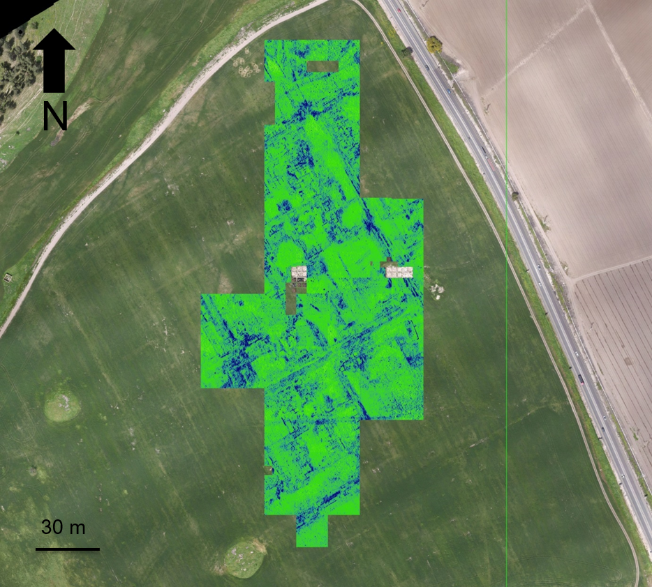
Non-invasive surface and subsurface mapping of archaeological features.
View project →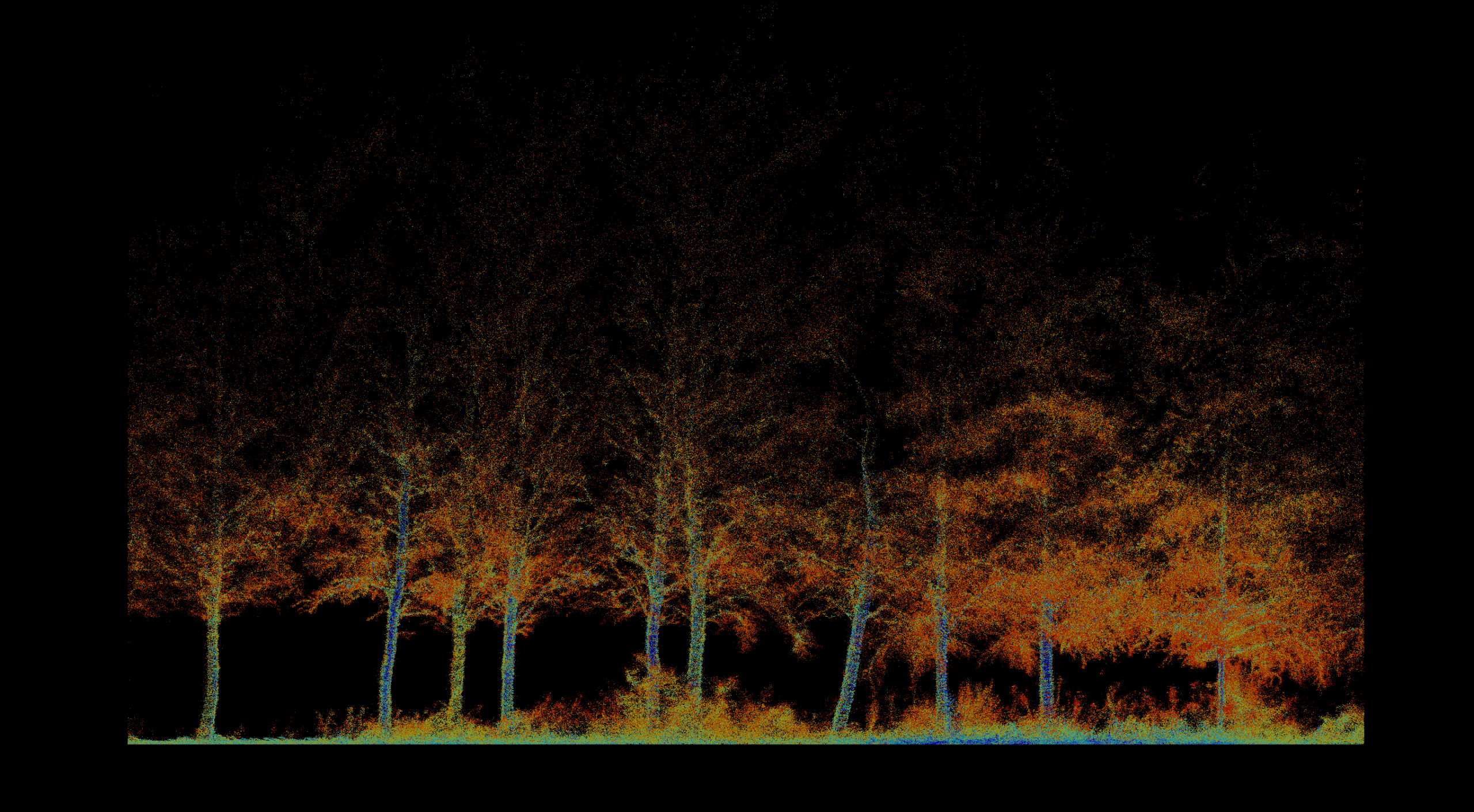
Pre-thinning inventory, forest structure, tree condition, and repeat monitoring.
View project →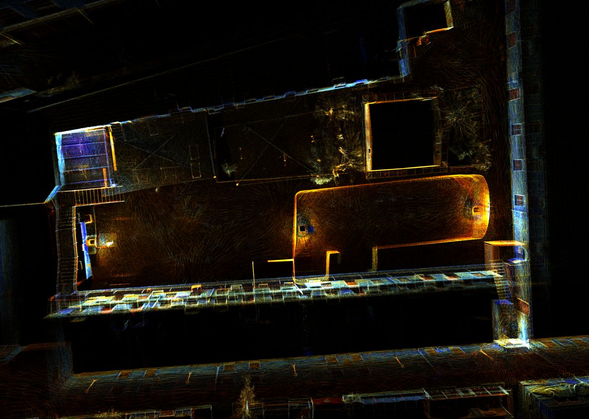
High-resolution 3D documentation of reservoir geometry in a GPS-denied environment.
View project →Repeat topographic monitoring of bank position, terrain, and landscape change.
View project →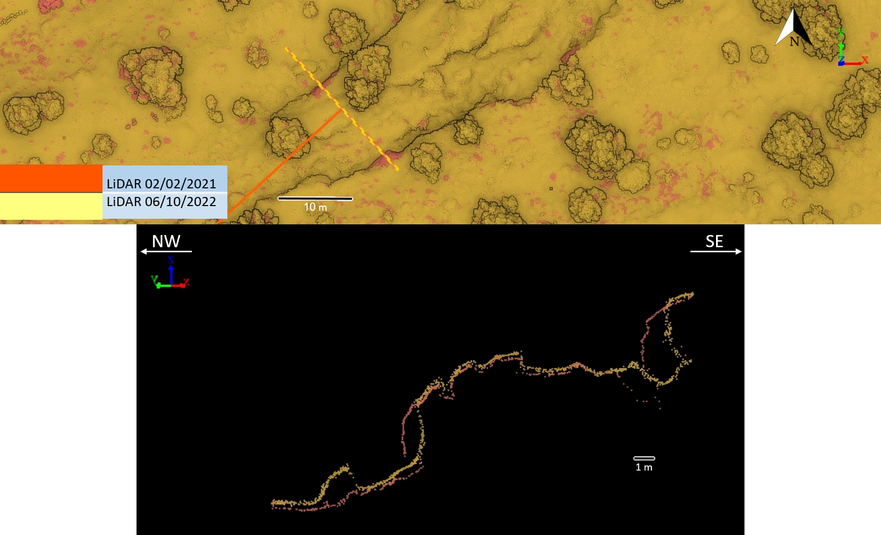
Repeat high-resolution terrain acquisition and cross-section comparison.
View project →Consultation
Tell us where the conventional workflow stops. We will help define a practical acquisition and intelligence plan.
Consult an expert →