
 01
01
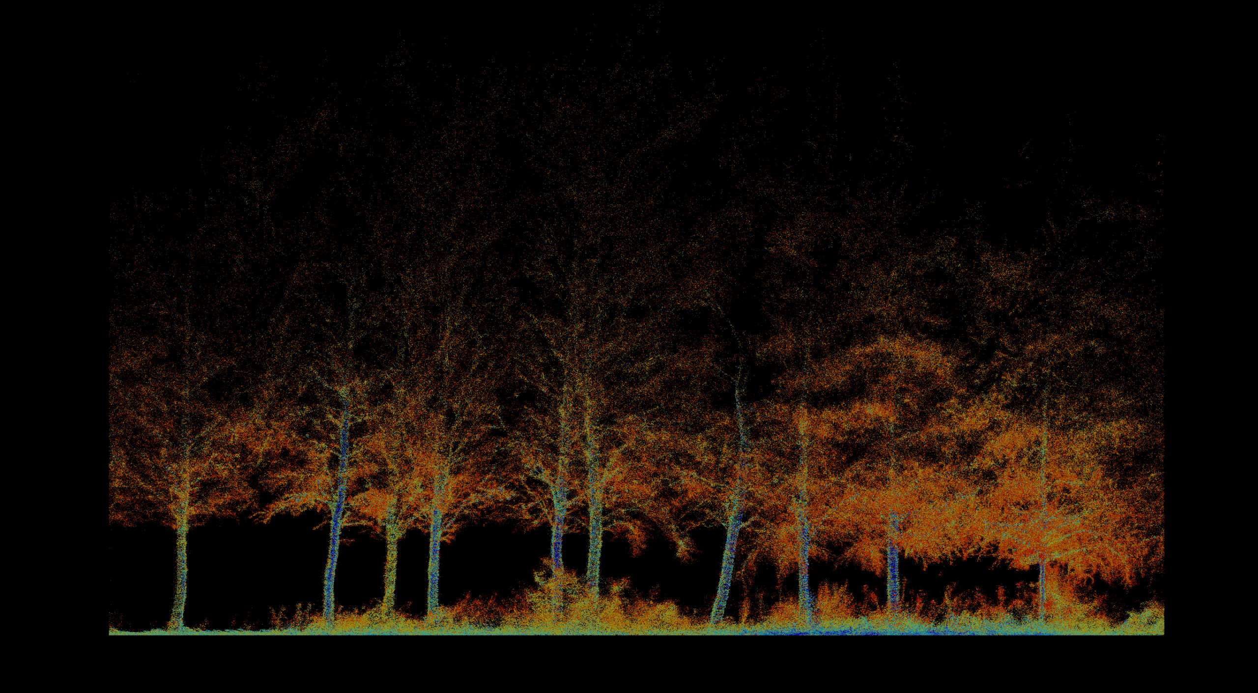
Forestry & Environmental Monitoring
Inventory, biomass, vegetation health, fire severity, terrain, and repeatable environmental change.
Explore solution →Technology & capability
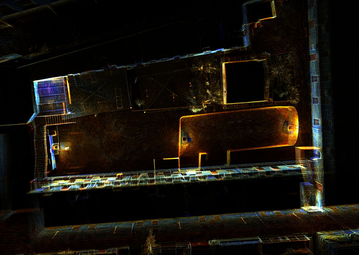
Rapid, textured 3D scanning for GPS-denied interiors, tunnels, caves, and complex structural shadows.
The technical edge
SLAM-based scanning captures high-resolution, georeferenced color point clouds in environments where satellite positioning is unavailable.
Strategic advantage
Connects underground and interior geometry to surface survey control without requiring aerial access.
System profile
The data gap solved
Maps spaces that drones, aircraft, and GNSS-dependent systems cannot safely or reliably reach.
Client advantage
Rapid field capture reduces exposure and creates a permanent, measurable record of otherwise inaccessible geometry.
Structured outputs
Applied in
01
Inventory, biomass, vegetation health, fire severity, terrain, and repeatable environmental change.
Explore solution →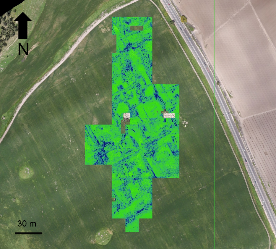 02
02
Non-invasive discovery, surface-to-subsurface modeling, and centimeter-accurate site documentation.
Explore solution →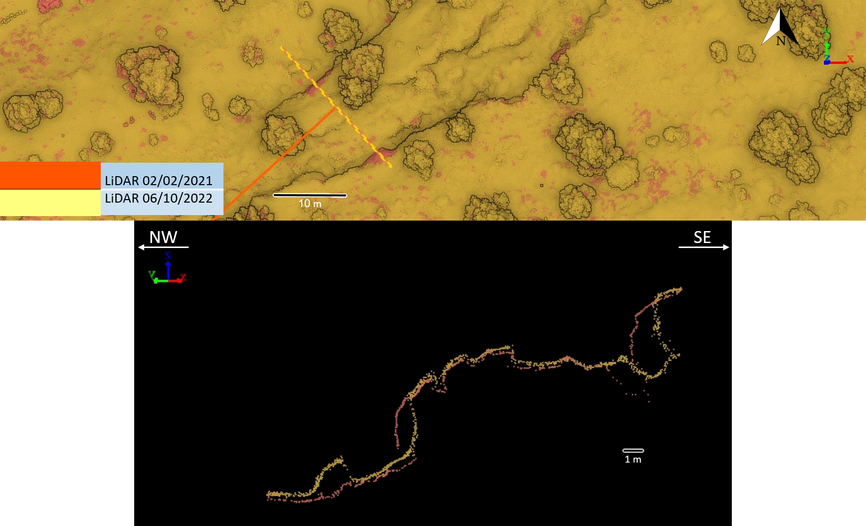 03
03
Survey-grade mapping for planning, landslides, tunnels, marine assets, and natural or semi-natural infrastructure corridors.
Explore solution →Project evidence
Pre-thinning inventory, forest structure, tree condition, and repeat monitoring.
View project →
High-resolution 3D documentation of reservoir geometry in a GPS-denied environment.
View project →
Repeat high-resolution terrain acquisition and cross-section comparison.
View project →