
 01
01
Rivers, Streams & Floodplains
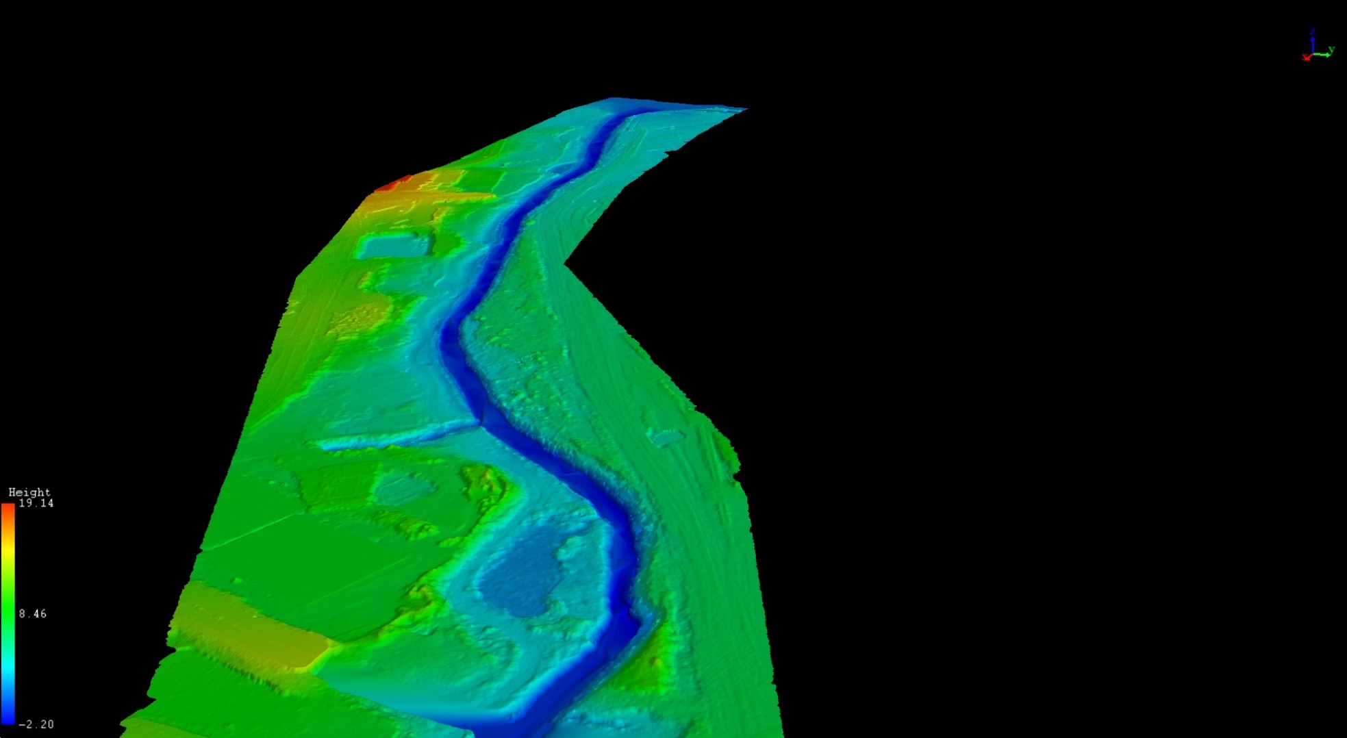
Bare-earth terrain beneath riparian vegetation, repeat monitoring of banks, channels and stream vegetation, and flood-model-ready surfaces.
Explore solution →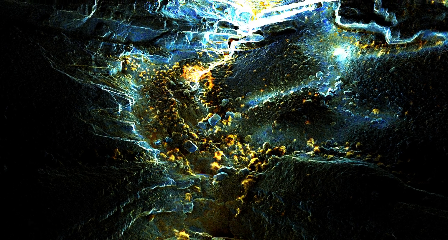
Geospatial intelligence
We bridge advanced data acquisition with deep analytical processing - revealing what lies beneath canopy, water, soil, and complex terrain.
2020
Operating since
150+ km²
Mapped with airborne LiDAR
100+
Projects delivered
Land + water
Topography and bathymetry in one survey
Our approach
We do not just hand over a point cloud. Our geologists, GIS specialists, and remote-sensing experts select the right acquisition method, build the analytical layer, and stay focused on the decision the client needs to make.
Sector intelligence
01
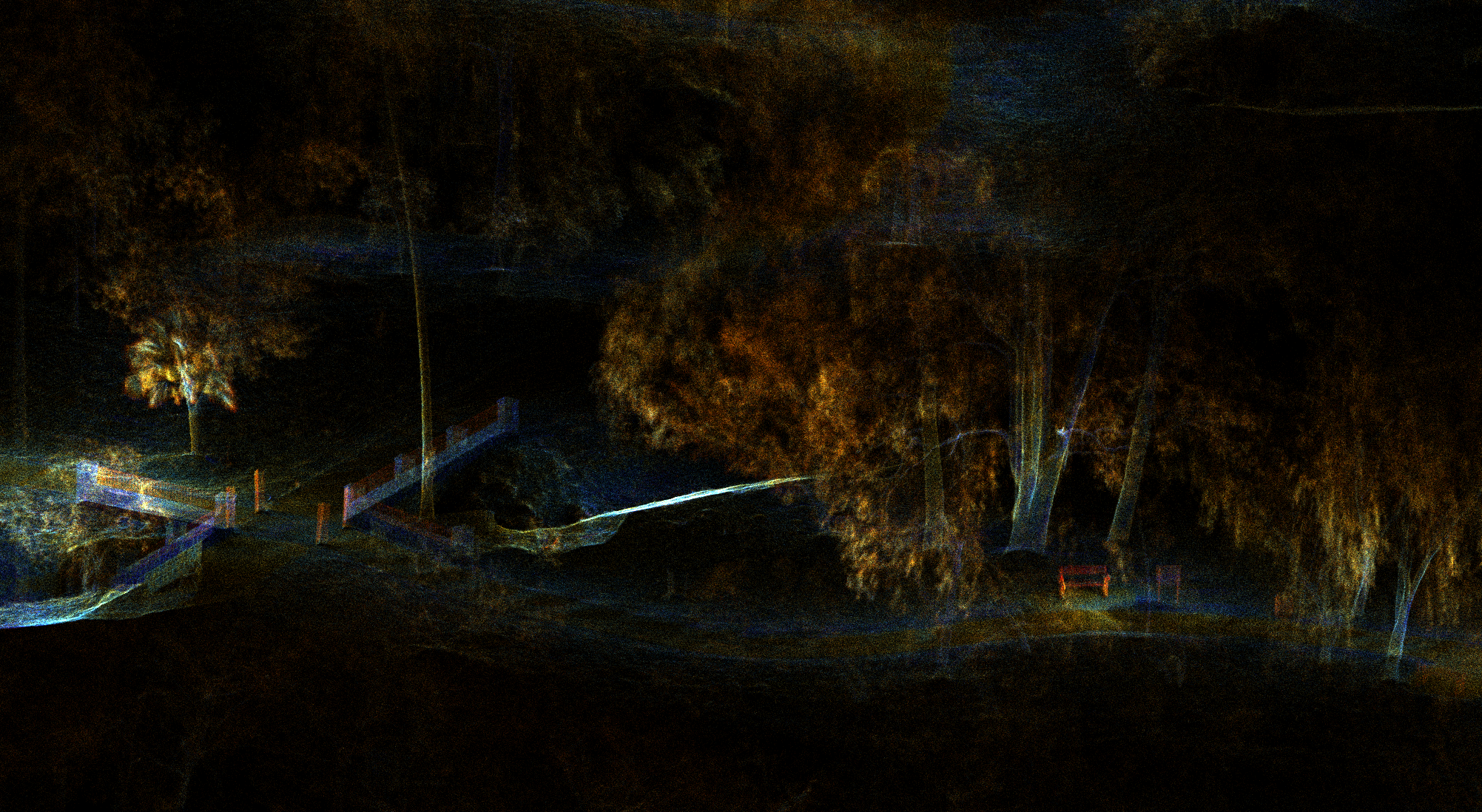
Bare-earth terrain beneath riparian vegetation, repeat monitoring of banks, channels and stream vegetation, and flood-model-ready surfaces.
Explore solution →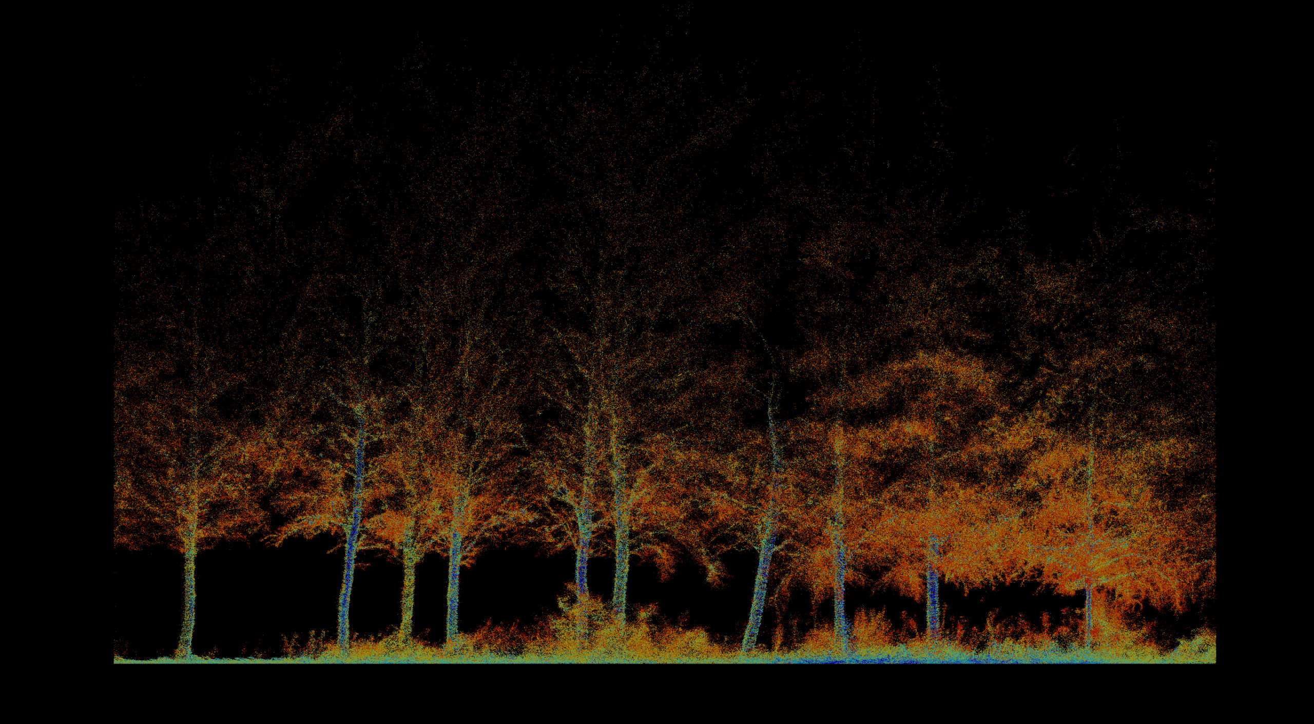 02
02
Inventory, biomass, vegetation health, fire severity, terrain, and repeatable environmental change.
Explore solution →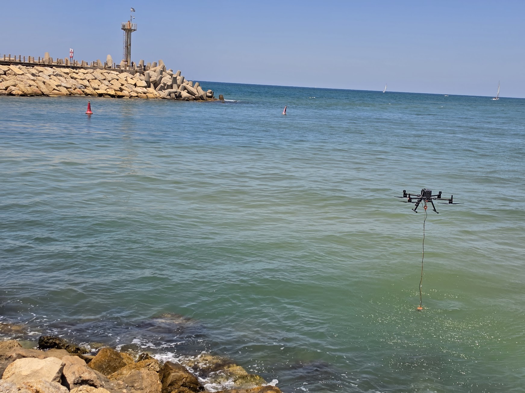 03
03
Drone bathymetry joined to the shoreline: depth, capacity, sediment and water level, bank to bottom in one continuous model.
Explore solution →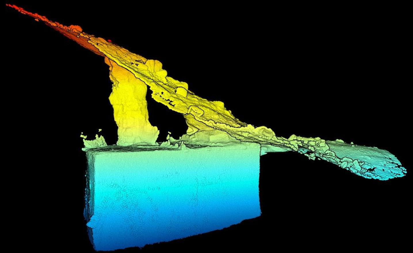 04
04
Archaeology, caves, tunnels, ground movement and problems without a standard method, from ancient copper slag to GPS-denied underground spaces.
Explore solution →Technology stack
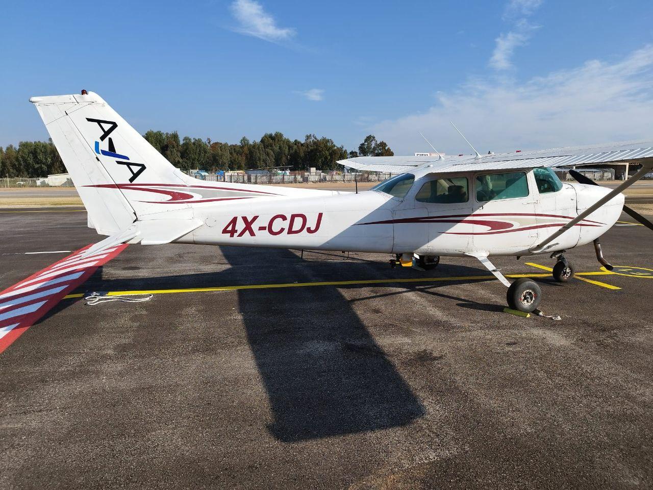
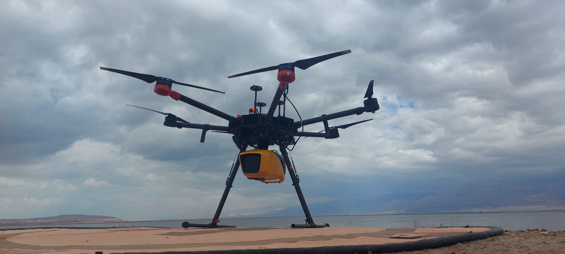
Survey-grade terrain mapping from local drone missions to regional fixed-wing acquisition.
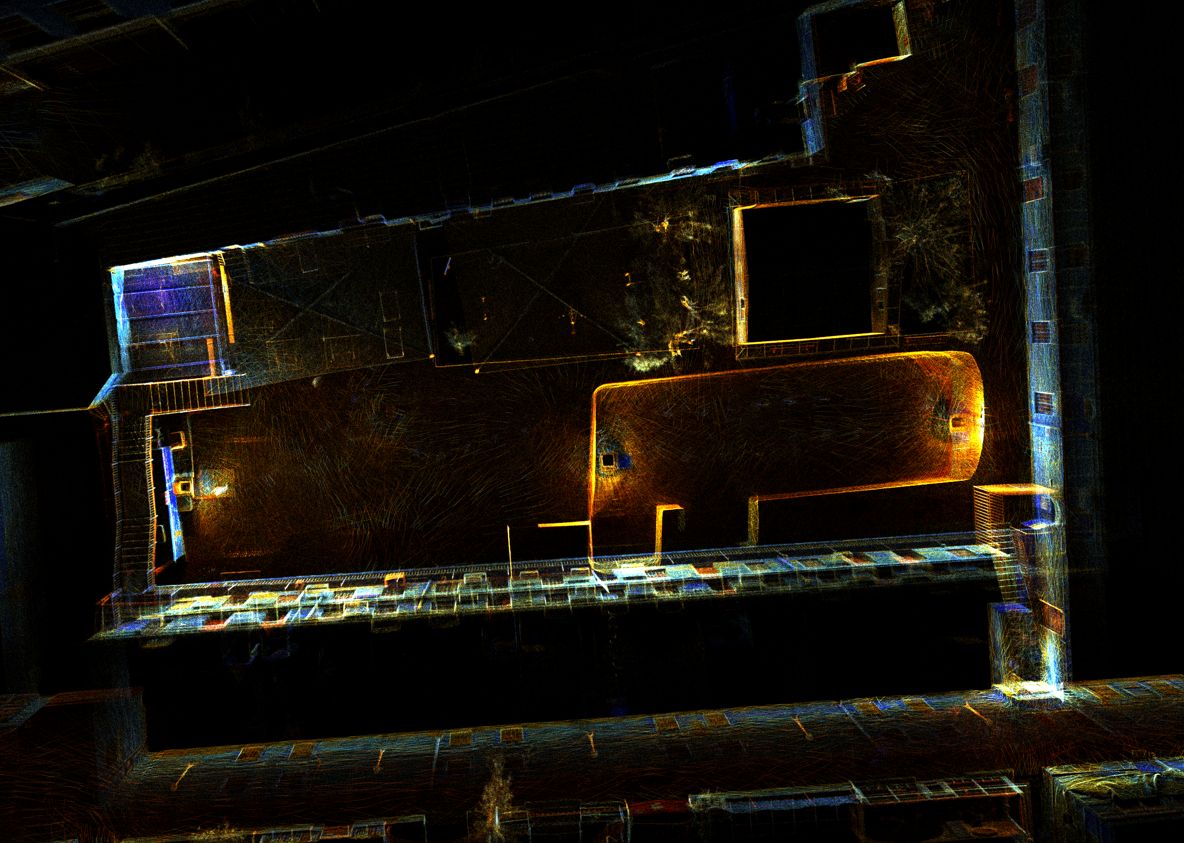
Rapid, textured 3D scanning for GPS-denied interiors, tunnels, caves, and complex structural shadows.
Seamless, high-resolution mapping from dry land through the surf zone to the seabed or riverbed.
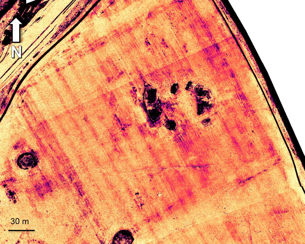
Centimeter-accurate visual and spectral data for documentation, vegetation health, moisture, and hidden-feature detection.
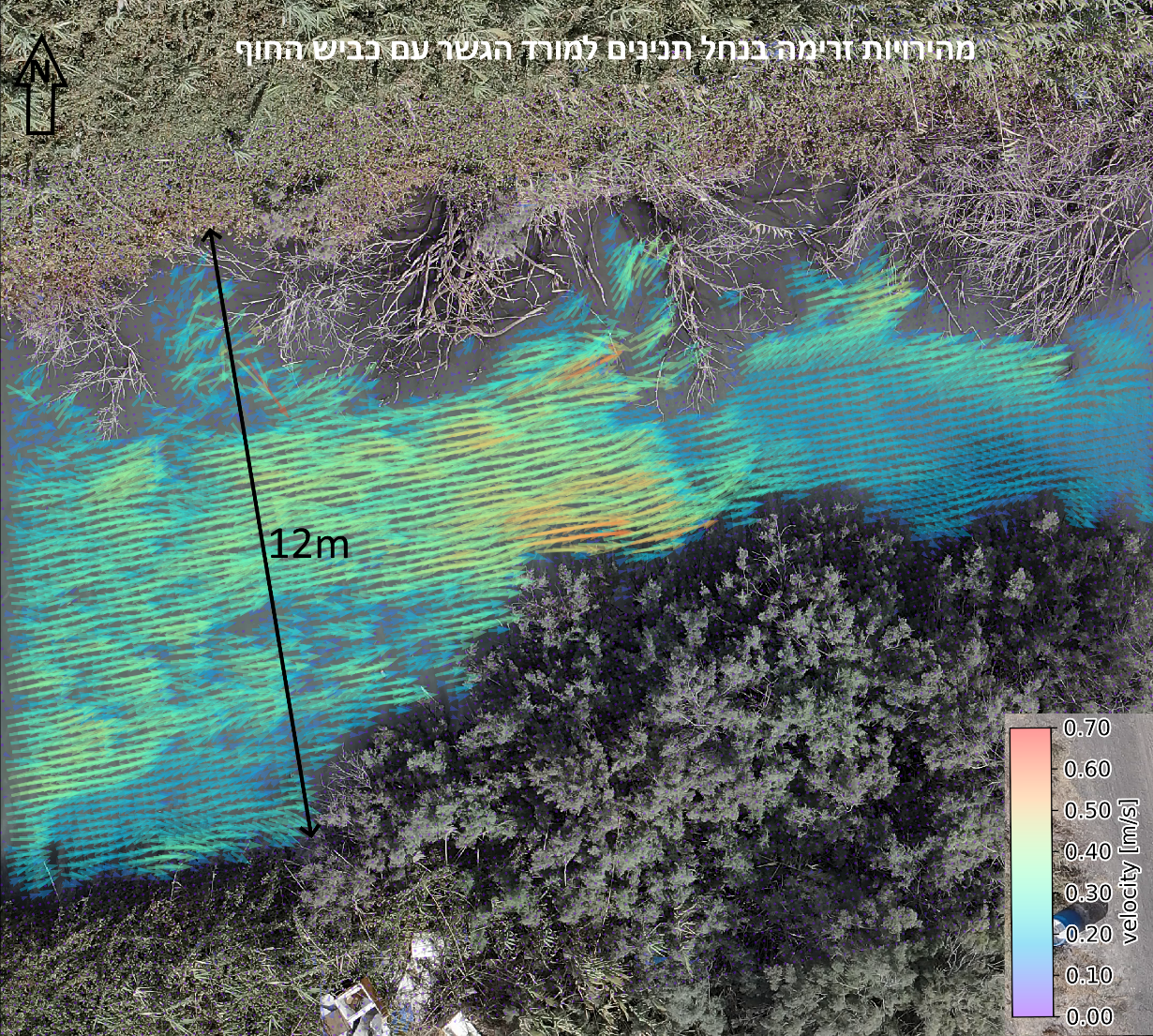
Drone-based water-level measurement and non-contact surface-flow analysis for dynamic rivers and streams.
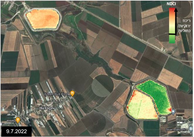
Multi-temporal satellite analysis and interactive delivery for long-term environmental and infrastructure monitoring.
How we work
Deploy the right sensor and platform for the scale, access, environment, and required precision.
Explore the sensor stackRegister, segment, compare, and transform raw data into meaningful spatial evidence.
Explore GIS & AIDeliver GIS-ready layers, digital twins, measurements, and dashboards around the real decision.
See the proofSelected work
Drone LiDAR and drone-mounted sonar combined into one topo-bathymetric model of a Yarkon River reach for LIA, supporting planning of the river corridor.
View project →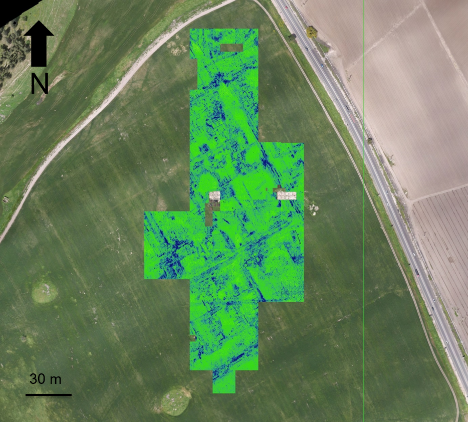
Non-invasive surface and subsurface mapping of archaeological features.
View project →
Pre-thinning inventory, forest structure, tree condition, and repeat monitoring.
View project →
High-resolution 3D documentation of reservoir geometry in a GPS-denied environment.
View project →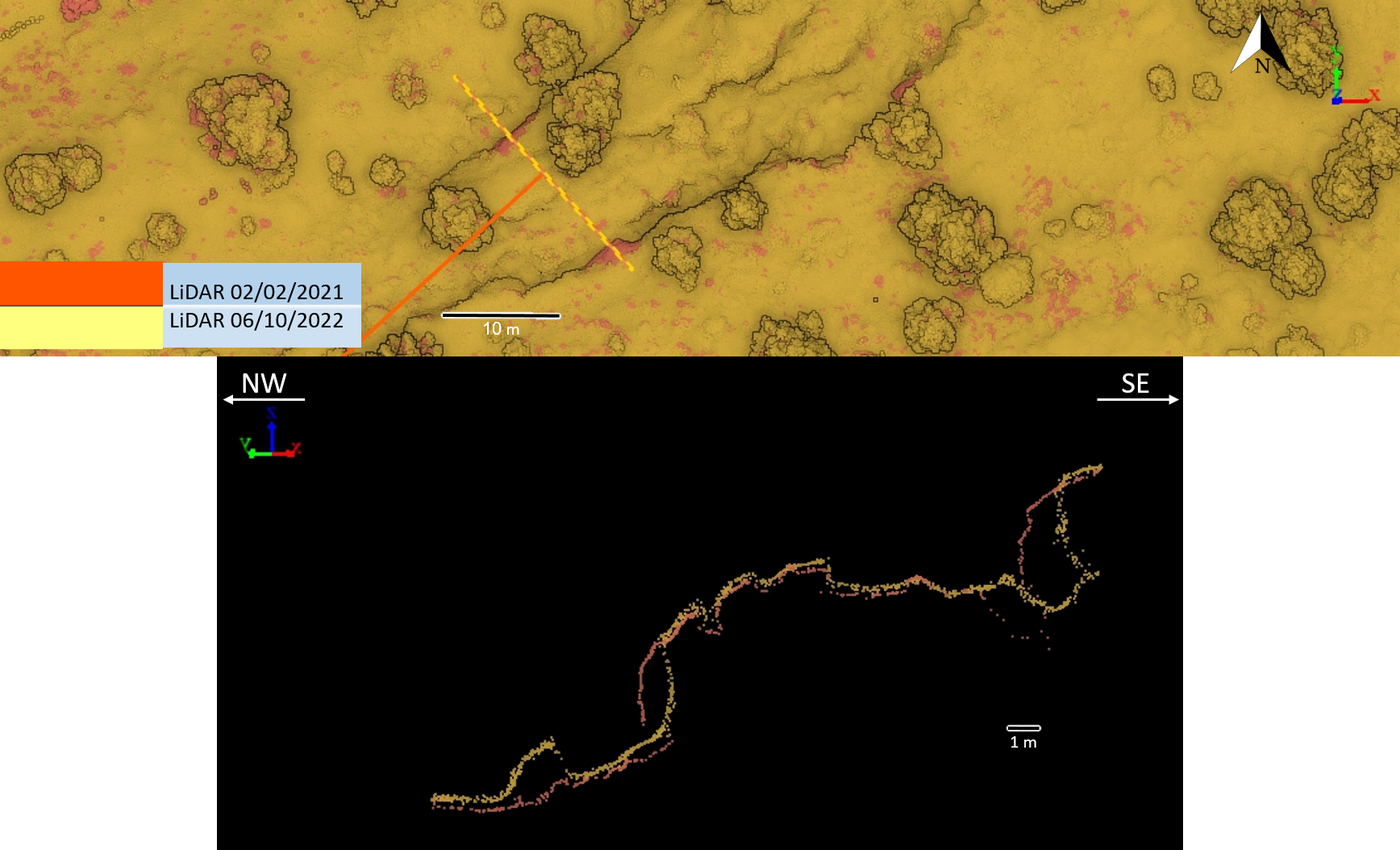
Repeat high-resolution terrain acquisition and cross-section comparison.
View project →Geospatial intelligence
Image segmentation, temporal analysis, terrain interpretation, and decision-support tools are the golden thread connecting every sensor to every sector.
Consultation
A conversation is usually the best first step - preferably with the terrain, constraints, and required decision already on the table.
Consult an expert →