
Image Segmentation
Custom analytical workflows identify and classify features such as dead vegetation, tree crowns, invasive species, water indicators, or man-made anomalies across large datasets.
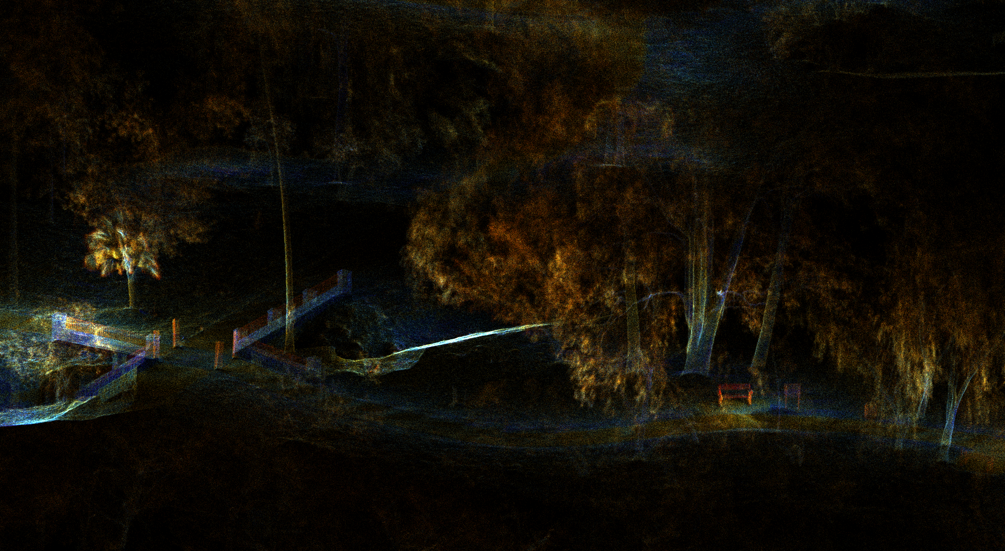
GIS & AI
We transform points, pixels, and time-series data into clear GIS-ready layers, automated analysis, and interactive tools.
The intelligence layer
Geospatial intelligence is both a standalone capability and the engine inside every sector solution. It connects capture with interpretation, comparison, and action.
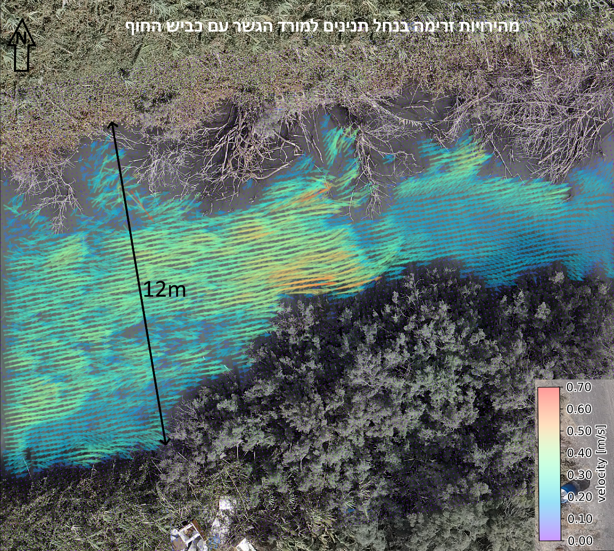
From raw data to action
Custom analytical workflows identify and classify features such as dead vegetation, tree crowns, invasive species, water indicators, or man-made anomalies across large datasets.
Satellite archives and repeat surveys reveal the history of a site, separating measurable change from one-off visual impressions.
Points and pixels become GIS-ready layers, measurements, cross-sections, digital twins, and dashboards built around a practical decision.
Connected applications
 01
01
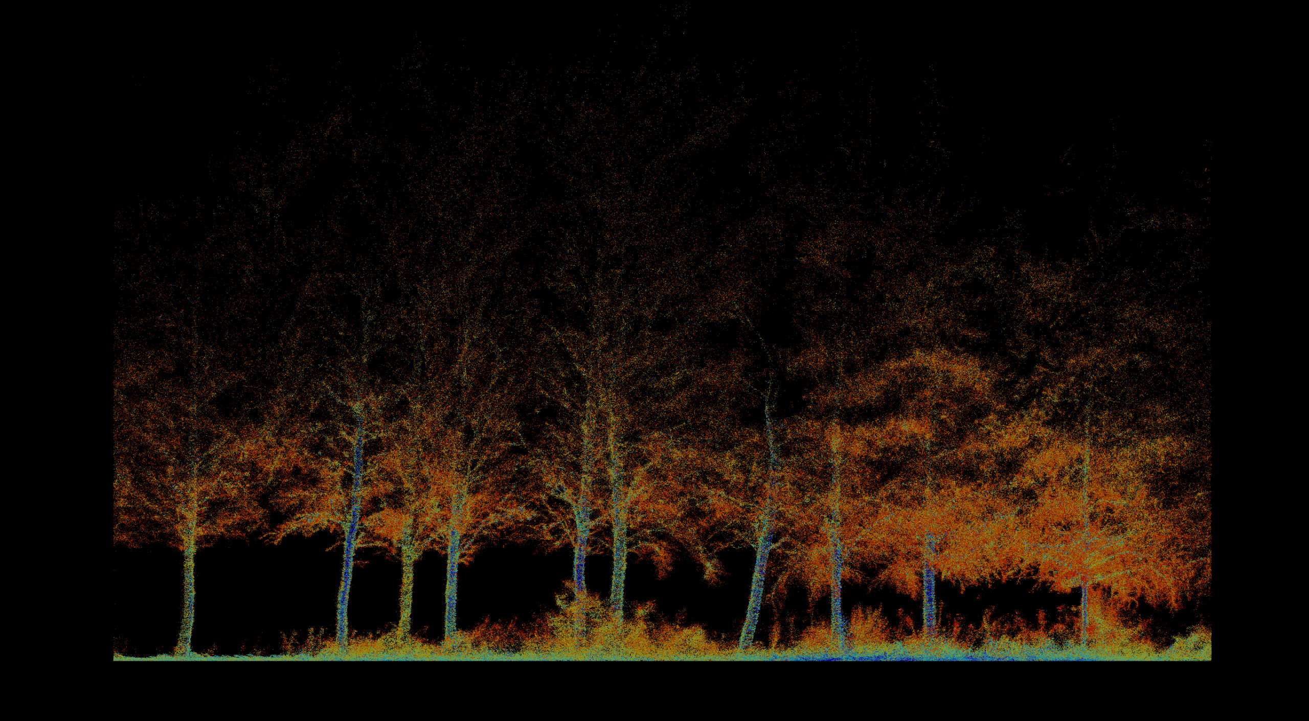
Inventory, biomass, vegetation health, fire severity, terrain, and repeatable environmental change.
Explore solution →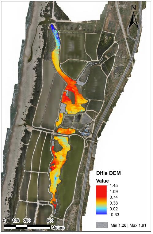 02
02
Bathymetry, sediment, water level, flow, sampling, erosion, capacity, and marine-infrastructure mapping.
Explore solution →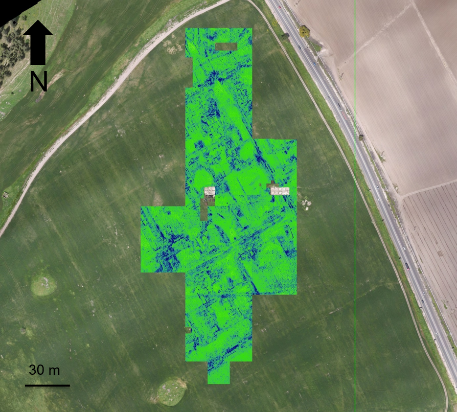 03
03
Non-invasive discovery, surface-to-subsurface modeling, and centimeter-accurate site documentation.
Explore solution →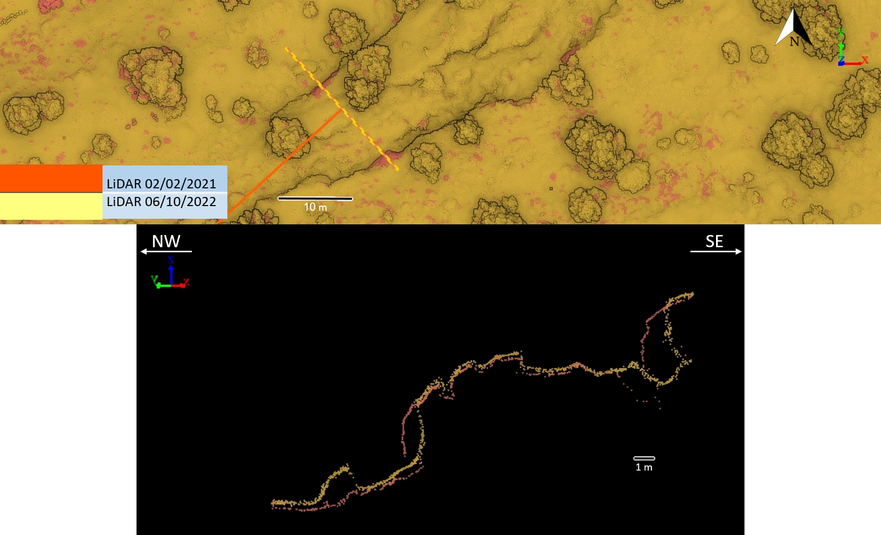 04
04
Survey-grade mapping for planning, landslides, tunnels, marine assets, and natural or semi-natural infrastructure corridors.
Explore solution →Enabling technology
Applied intelligence
Integrated mapping of riverbank, shallow transition zones, and underwater terrain.
View project →
Non-invasive surface and subsurface mapping of archaeological features.
View project →
Pre-thinning inventory, forest structure, tree condition, and repeat monitoring.
View project →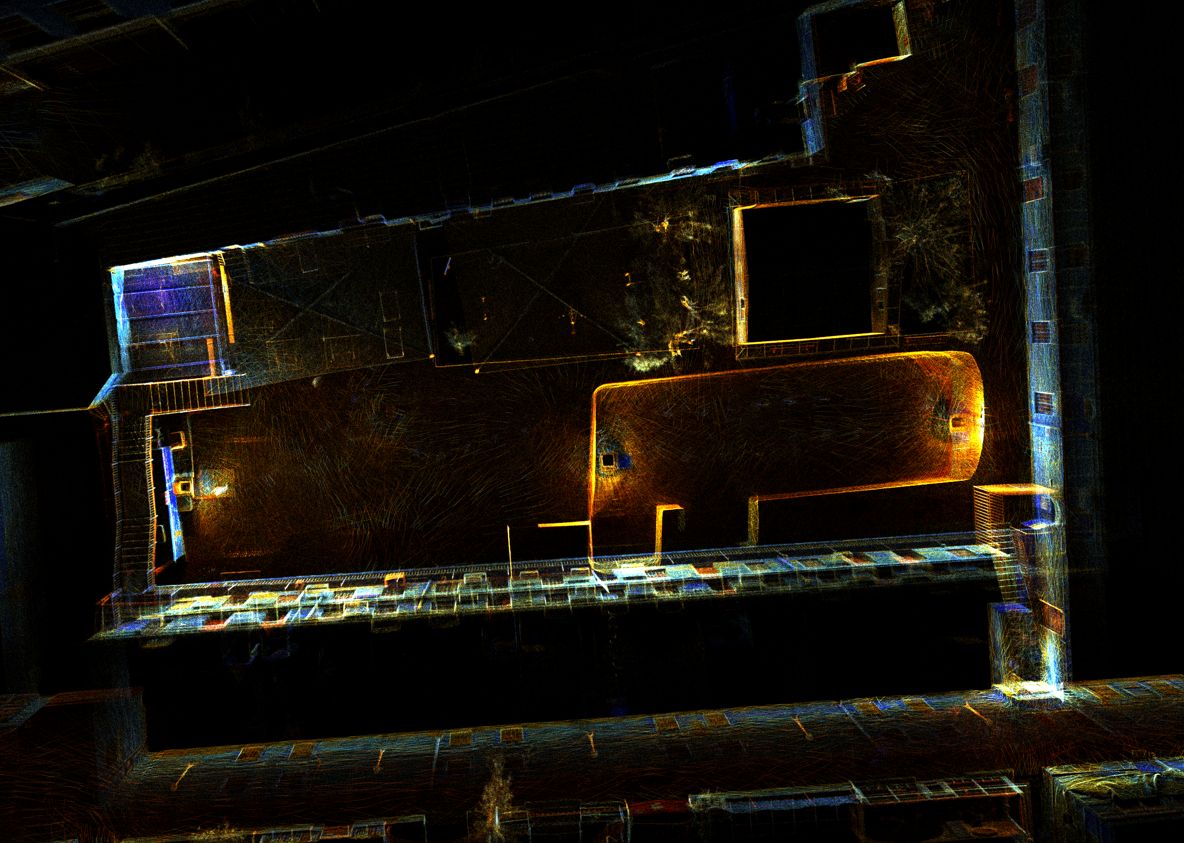
High-resolution 3D documentation of reservoir geometry in a GPS-denied environment.
View project →Repeat topographic monitoring of bank position, terrain, and landscape change.
View project →
Repeat high-resolution terrain acquisition and cross-section comparison.
View project →