
 01
01
Archaeology & Heritage Research
Non-invasive discovery, surface-to-subsurface modeling, and centimeter-accurate site documentation.
Explore solution →Technology & capability
Non-invasive, depth-specific mapping of buried foundations, roads, voids, and archaeological features.
The technical edge
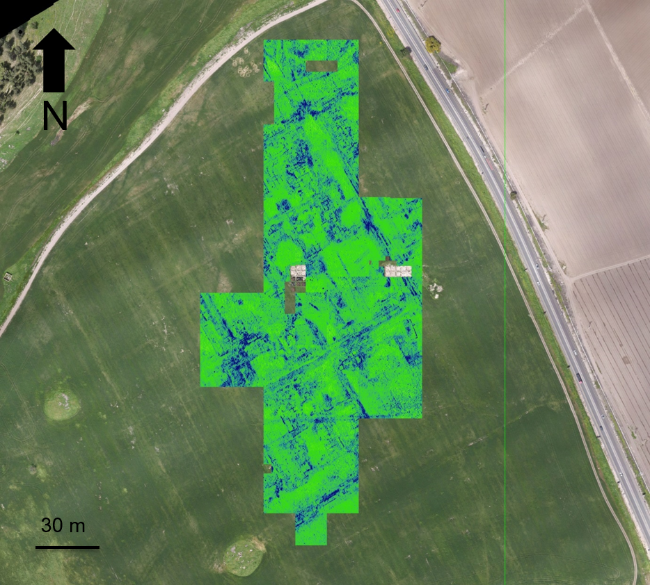
High-frequency radar pulses create depth slices that show the horizontal and vertical extent of subsurface anomalies.
Strategic advantage
Supports targeted investigation while preserving sensitive ground and archaeological context.
System profile
The data gap solved
Reveals buried structure without excavation and anchors that evidence to surface mapping.
Client advantage
Reduces uncertainty, limits invasive work, and directs researchers toward the highest-value targets.
Structured outputs
Applied in
01
Non-invasive discovery, surface-to-subsurface modeling, and centimeter-accurate site documentation.
Explore solution →Project evidence
Non-invasive surface and subsurface mapping of archaeological features.
View project →