
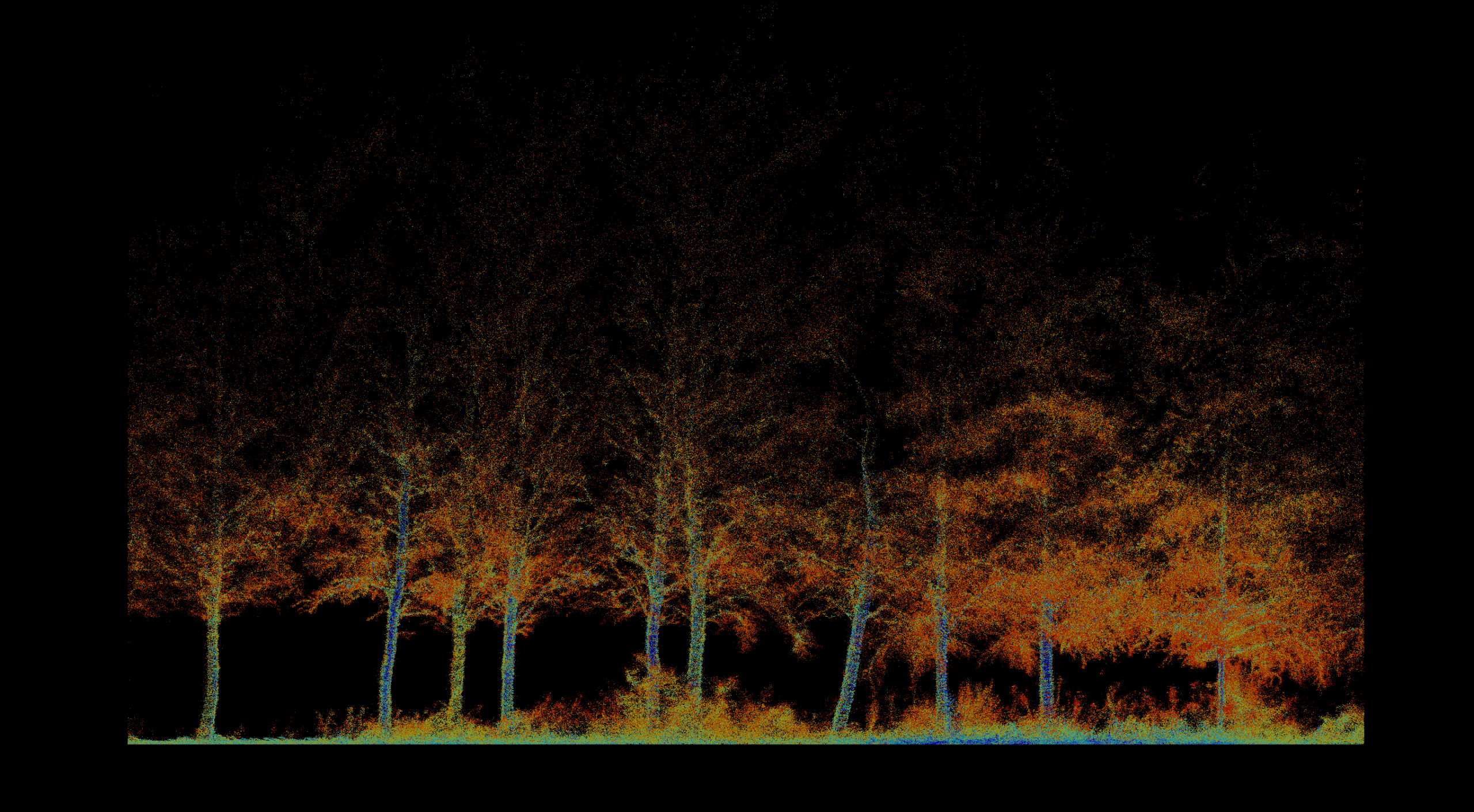
 01
01
Forestry & Environmental Monitoring
Inventory, biomass, vegetation health, fire severity, terrain, and repeatable environmental change.
Explore solution →Technology & capability
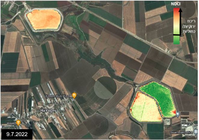
Multi-temporal satellite analysis and interactive delivery for long-term environmental and infrastructure monitoring.
The technical edge
Satellite constellations and cloud-scale processing turn regional image archives into temporal and time-series analysis.
Strategic advantage
Provides the historical context and monitoring frequency that project-specific flights cannot supply alone.
System profile
The data gap solved
Adds historical and regional context beyond the time and footprint of a single field campaign.
Client advantage
Clients can explore change, compare periods, and work with decision-ready layers through a centralized interface.
Structured outputs
Applied in
01
Inventory, biomass, vegetation health, fire severity, terrain, and repeatable environmental change.
Explore solution →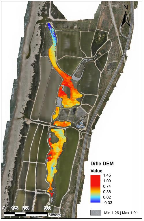 02
02
Bathymetry, sediment, water level, flow, sampling, erosion, capacity, and marine-infrastructure mapping.
Explore solution →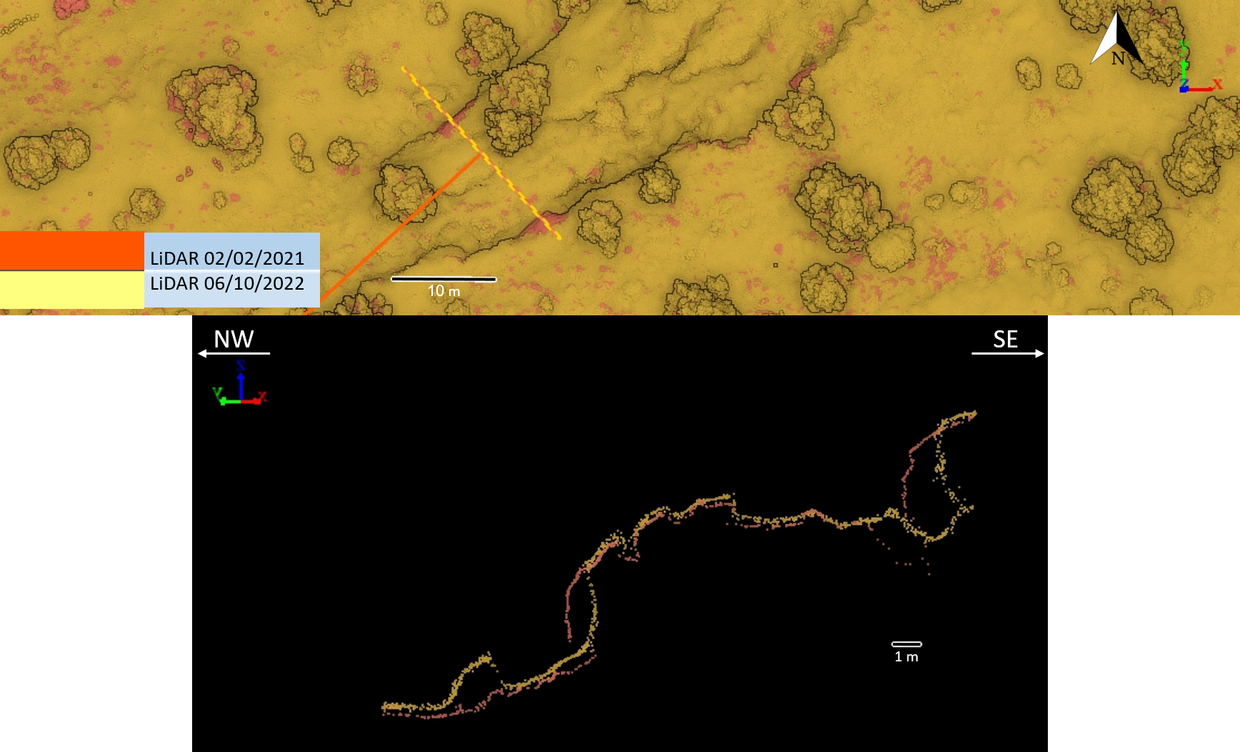 03
03
Survey-grade mapping for planning, landslides, tunnels, marine assets, and natural or semi-natural infrastructure corridors.
Explore solution →Project evidence
Pre-thinning inventory, forest structure, tree condition, and repeat monitoring.
View project →Repeat topographic monitoring of bank position, terrain, and landscape change.
View project →
Repeat high-resolution terrain acquisition and cross-section comparison.
View project →