
The challenge
Forest managers need repeatable quantitative evidence across terrain and canopy that cannot be produced reliably through manual inspection alone.
Field project
Pre-thinning inventory, forest structure, tree condition, and repeat monitoring.
The challenge
Forest managers need repeatable quantitative evidence across terrain and canopy that cannot be produced reliably through manual inspection alone.
The DynamicSense intervention
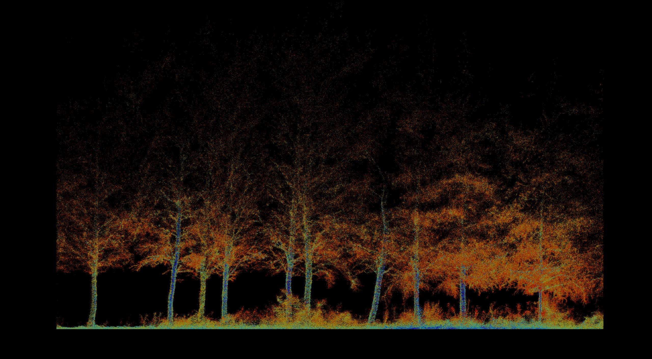
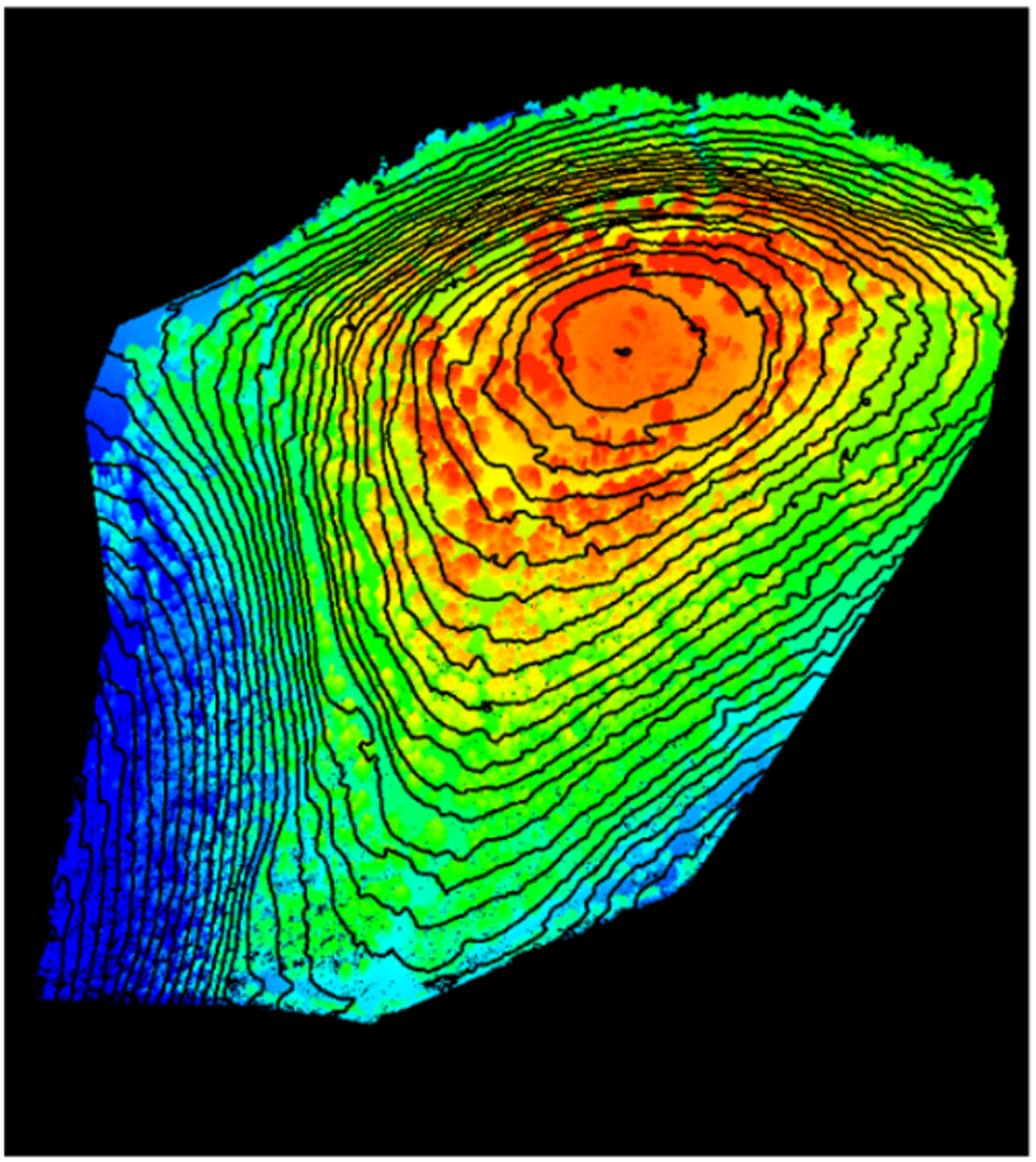
DynamicSense fused airborne and handheld LiDAR with high-resolution imagery and analytical segmentation to measure individual and landscape-scale structure.
Outcomes & decision support
The resulting inventory supports thinning, damaged-tree detection, fire-risk work, and long-term management with repeatable spatial evidence.
Structured outputs
Project imagery
Connected content
Consultation
We will help identify the right combination of capture, analysis, and deliverables.
Consult an expert →