Technical partners, not data vendors
We stay accountable to the project question instead of treating the sensor output as the finish line.
The who
Geologists, GIS specialists, remote-sensing experts, and certified drone pilots who stay accountable for the answer.
Our mission
DynamicSense provides precise, actionable insight where traditional mapping cannot reach. We bridge advanced acquisition and deep analytical processing to help clients understand and manage complex landscapes.
High-tech sensing should be accessible, personal, and focused on better decisions. We combine boutique service with the analytical discipline required for demanding environmental, research, and engineering work.
Why DynamicSense
We stay accountable to the project question instead of treating the sensor output as the finish line.
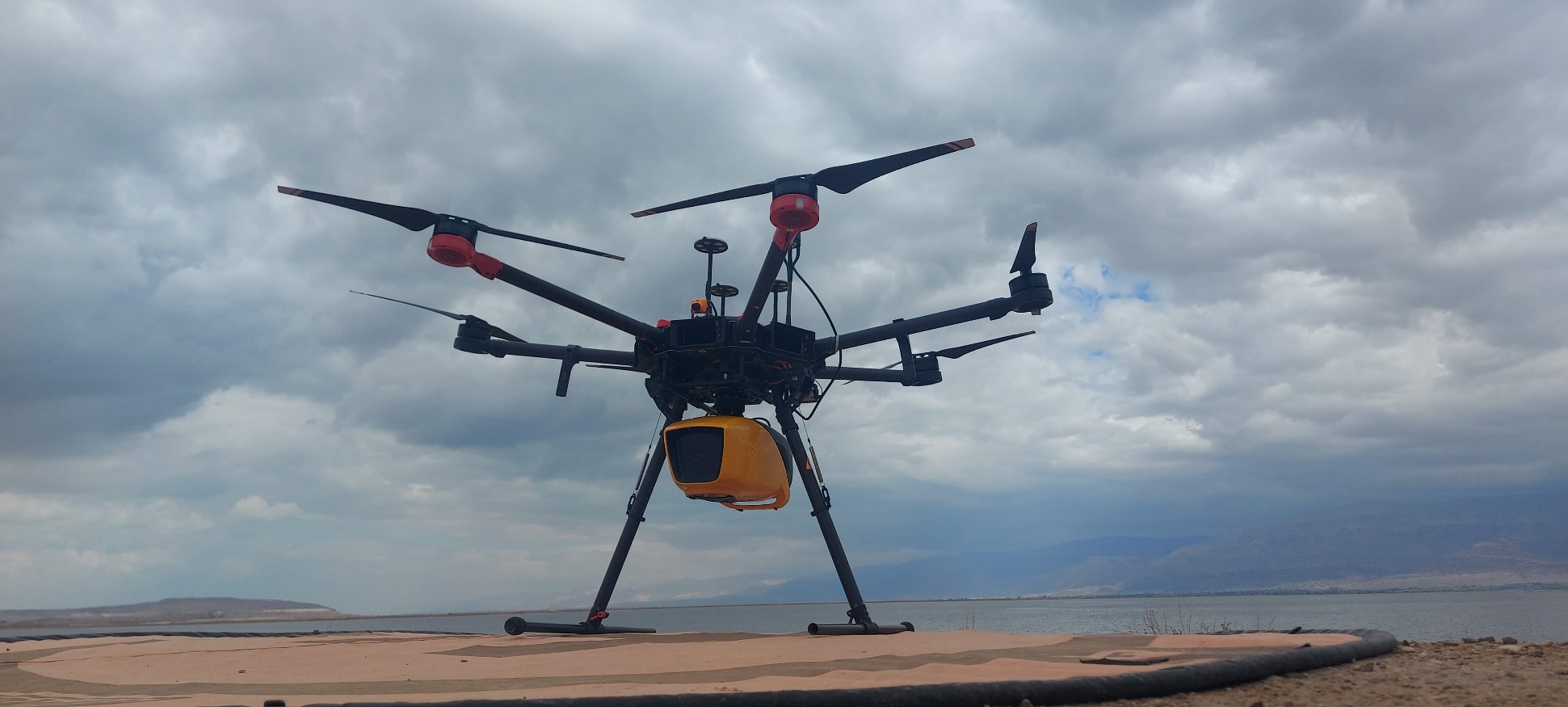
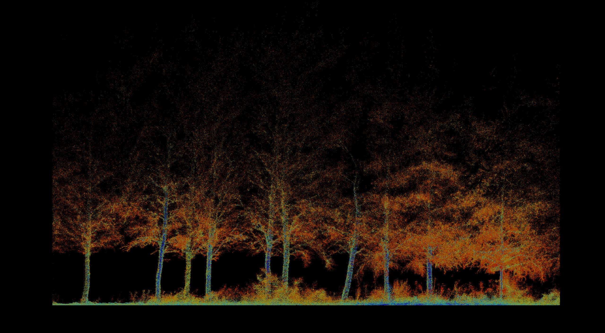
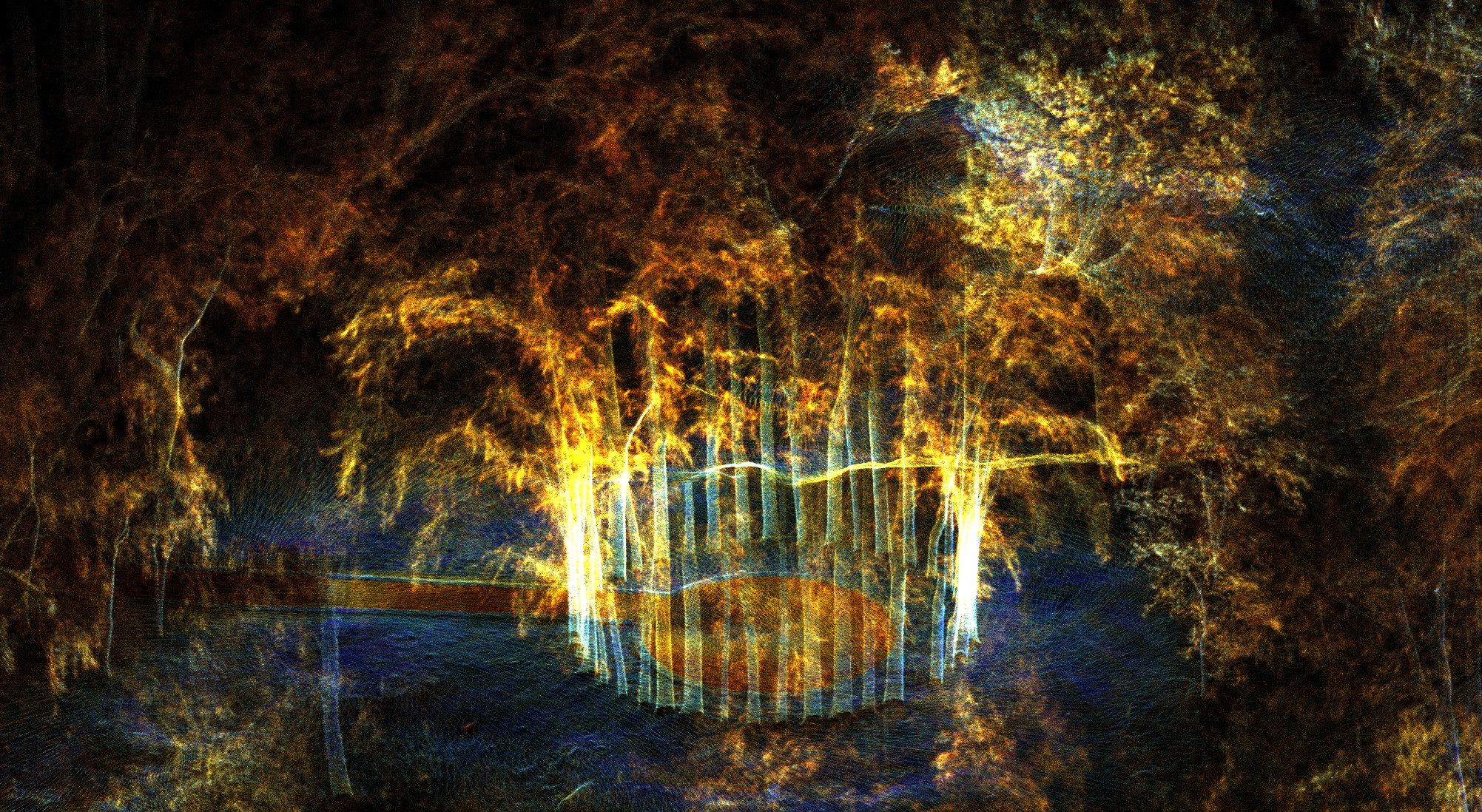
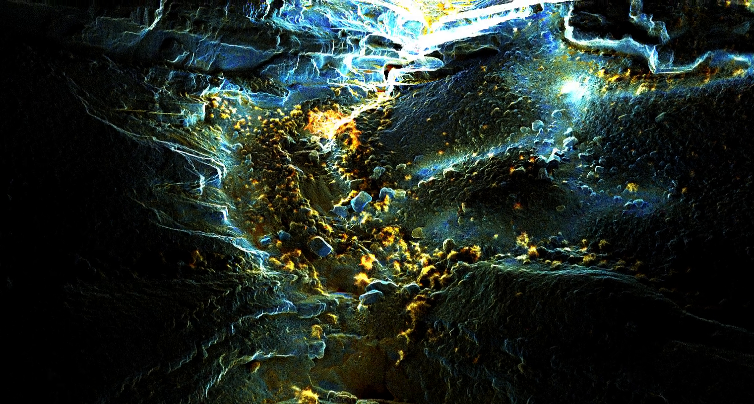
Mud, forests, hazardous reservoirs, underground spaces, and restricted access are operating constraints to solve, not reasons to leave a blind spot.
We choose the simplest or most advanced method that produces the required evidence, then connect it to analysis and delivery.
Experienced specialists in geology, GIS, remote sensing, and drone operations oversee the journey from fieldwork to interpretation.
In the field