
The challenge
The reservoir’s interior geometry and lack of GNSS made conventional aerial or satellite-positioned capture unsuitable.
Field project
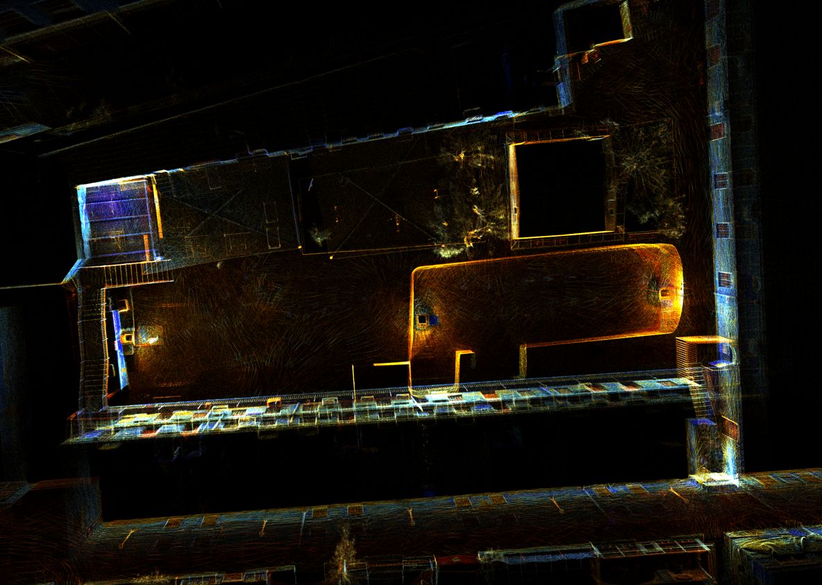
High-resolution 3D documentation of reservoir geometry in a GPS-denied environment.
The challenge
The reservoir’s interior geometry and lack of GNSS made conventional aerial or satellite-positioned capture unsuitable.
The DynamicSense intervention
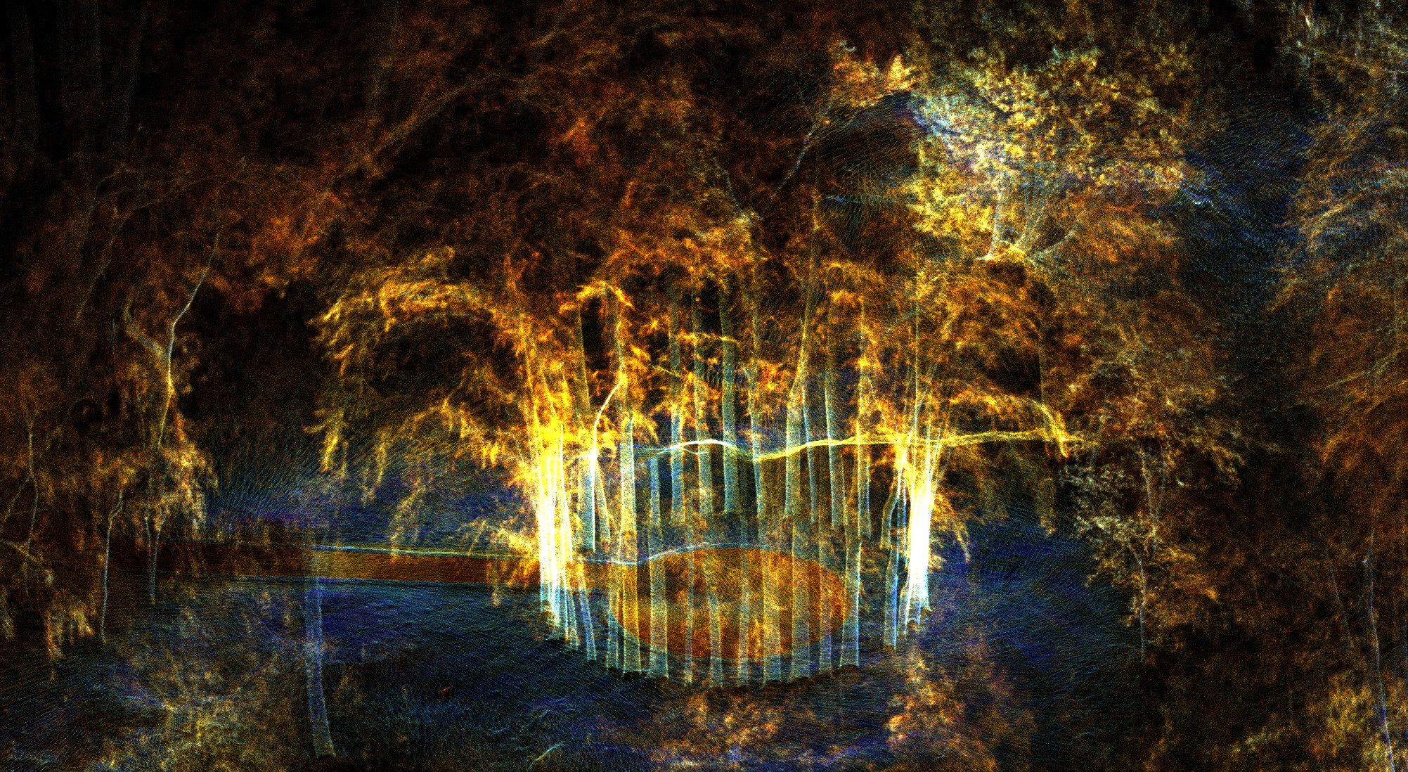
DynamicSense deployed mobile LiDAR to move through the structure, capture dense geometry, and register the resulting data into a coherent 3D model.
Outcomes & decision support
The project produced a permanent, measurable record for documentation, interpretation, and future comparison.
Structured outputs
Project imagery
Connected content
Consultation
We will help identify the right combination of capture, analysis, and deliverables.
Consult an expert →