
Overview
Quantify the structure and vitality of complex landscapes by combining LiDAR, high-resolution imagery, and temporal satellite intelligence.
Solution
Inventory, biomass, vegetation health, fire severity, terrain, and repeatable environmental change.
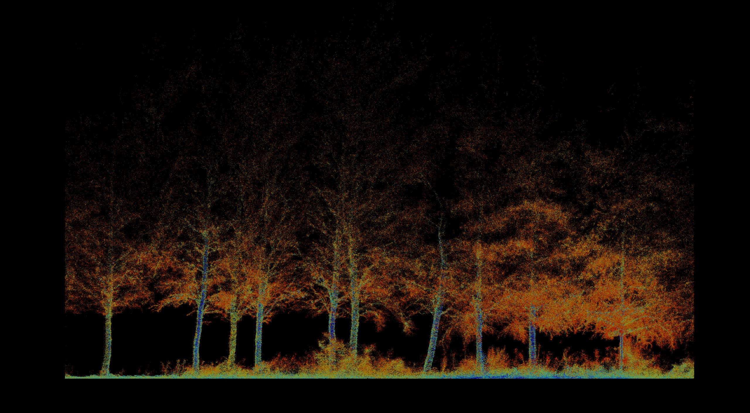
Overview
Quantify the structure and vitality of complex landscapes by combining LiDAR, high-resolution imagery, and temporal satellite intelligence.
The challenge
Manual inspection cannot consistently measure vegetation coverage, forest structure, environmental risk, and change across large or inaccessible terrain.
Our approach
We fuse high-density 3D structure with calibrated spectral data and repeat observations. Field capture and regional monitoring are selected to match the scale and decision.
The intelligence
Segmentation and GIS analysis isolate tree crowns, damaged vegetation, biomass indicators, terrain, hydrological features, and change between campaigns.
The value
A repeatable digital inventory supports thinning, fire-risk mitigation, restoration, carbon assessment, and long-term resource management.
Structured outputs
Connected technology
Related work
Pre-thinning inventory, forest structure, tree condition, and repeat monitoring.
View project →Repeat topographic monitoring of bank position, terrain, and landscape change.
View project →Consultation
We will help frame the acquisition, analysis, and decision-support workflow around your site.
Consult an expert →