
The challenge
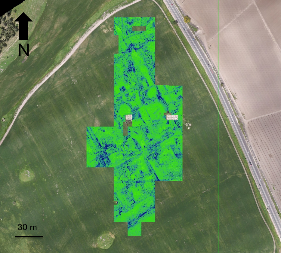
Important archaeological geometry was concealed below active ground, making broad excavation unsuitable as the first investigative step.
Field project
Non-invasive surface and subsurface mapping of archaeological features.
The challenge
Important archaeological geometry was concealed below active ground, making broad excavation unsuitable as the first investigative step.
The DynamicSense intervention
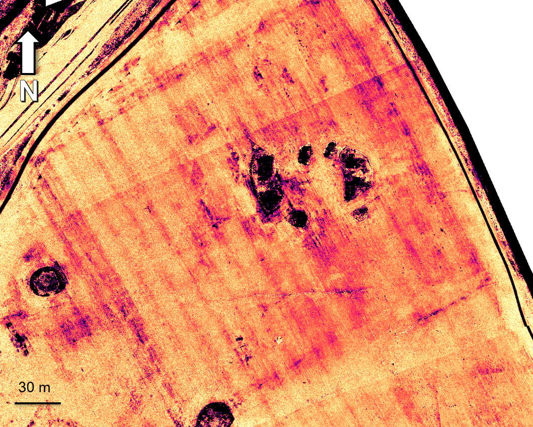
DynamicSense combined GPR, multispectral imagery, georeferenced aerial mapping, and spatial analysis to reveal patterns and anchor them to a common site model.
Outcomes & decision support
The research team received a non-invasive basis for prioritizing targets and understanding the relationship between surface evidence and buried structures.
Structured outputs
Project imagery
Connected content
Consultation
We will help identify the right combination of capture, analysis, and deliverables.
Consult an expert →