
 01
01
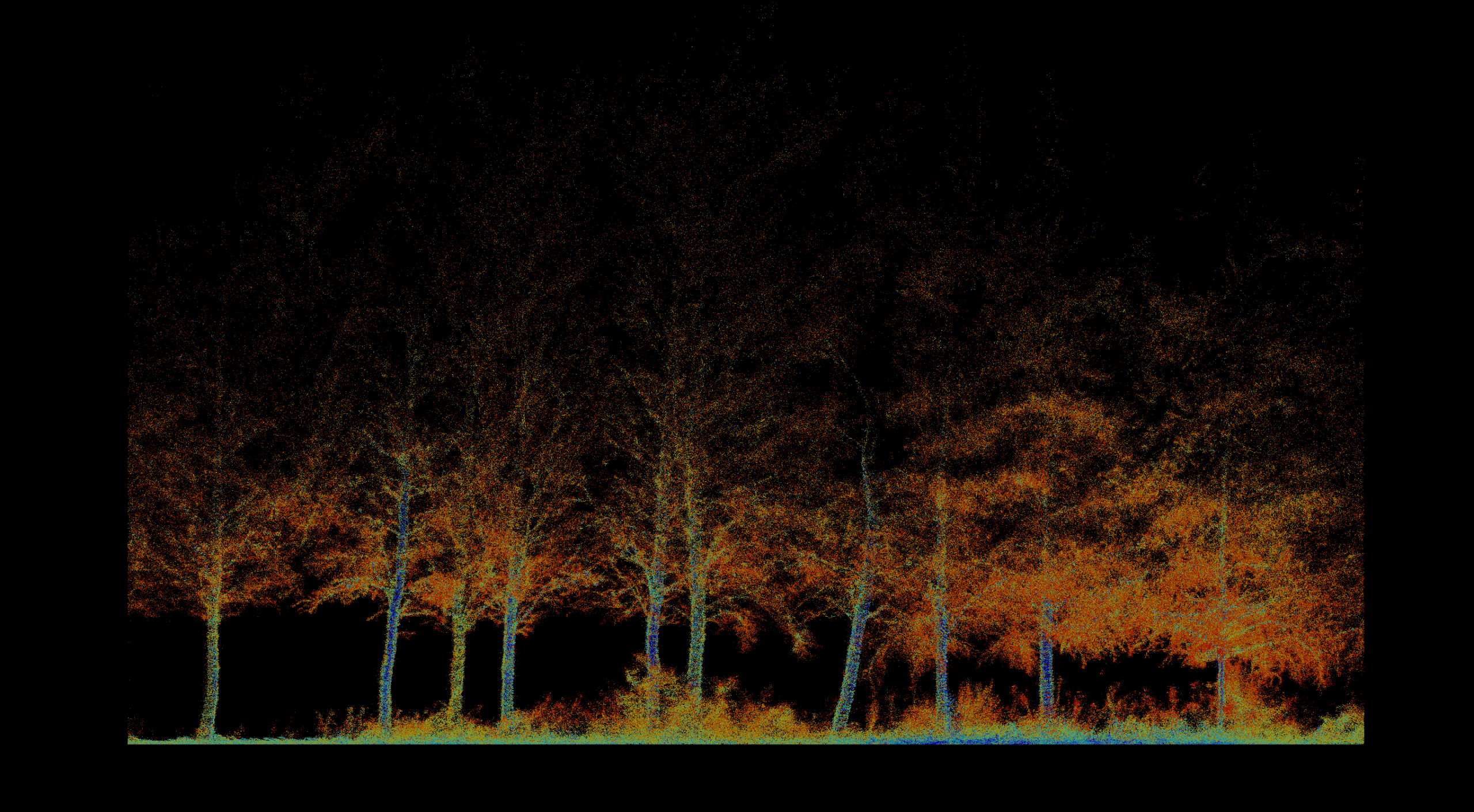
Forestry & Environmental Monitoring
Inventory, biomass, vegetation health, fire severity, terrain, and repeatable environmental change.
Explore solution → The where
Acquisition, analysis, and decision support are combined around the operational reality of each sector.
What we solve
Each solution combines acquisition, analysis, delivery, and operational planning. Related technologies and projects are managed once and connected through ACF relationships.
01
Inventory, biomass, vegetation health, fire severity, terrain, and repeatable environmental change.
Explore solution →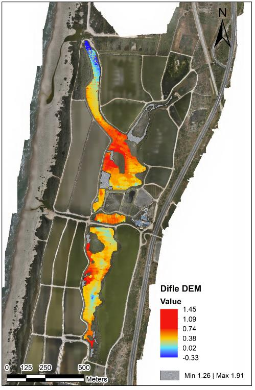 02
02
Bathymetry, sediment, water level, flow, sampling, erosion, capacity, and marine-infrastructure mapping.
Explore solution →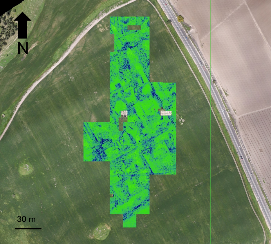 03
03
Non-invasive discovery, surface-to-subsurface modeling, and centimeter-accurate site documentation.
Explore solution →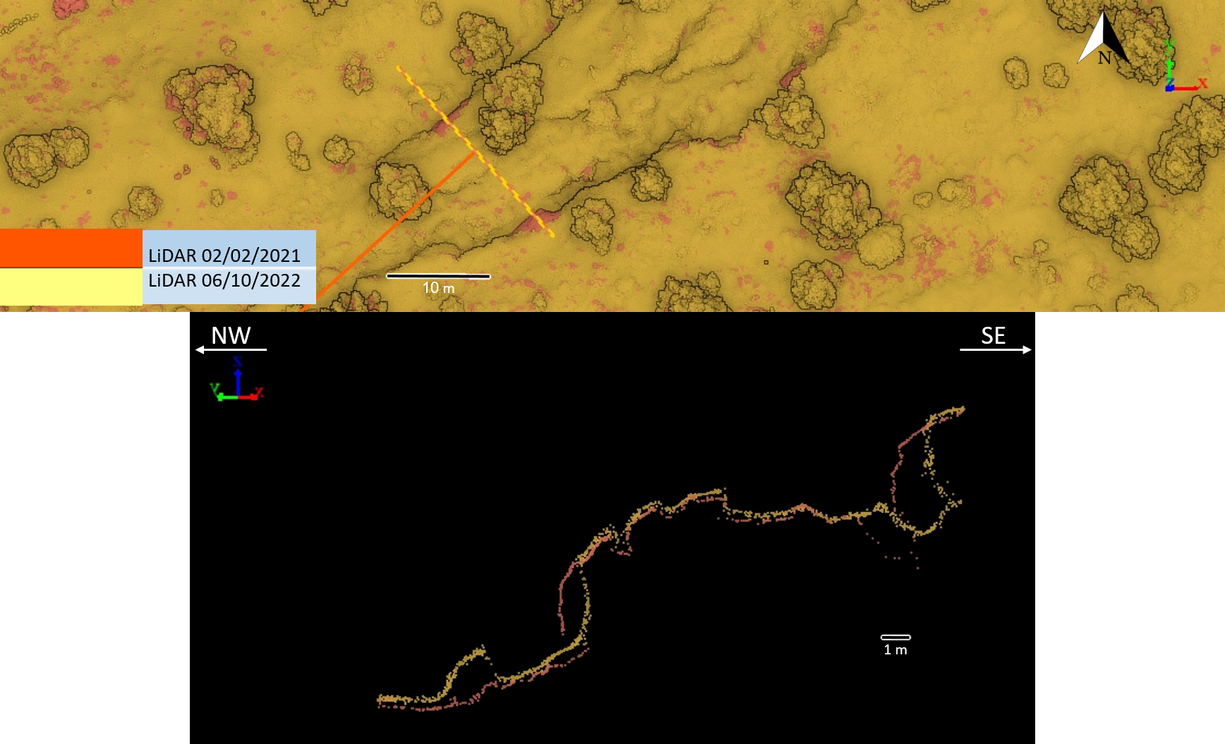 04
04
Survey-grade mapping for planning, landslides, tunnels, marine assets, and natural or semi-natural infrastructure corridors.
Explore solution →Beyond capture
Segmentation, time-series comparison, GIS automation, and decision-ready delivery turn the same sensor into a different answer for a forest, reservoir, archaeological site, or infrastructure corridor.