
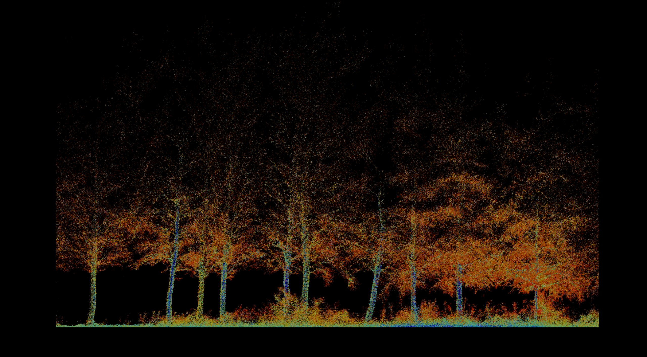
 01
Forestry & Environment
Inventory, biomass, vegetation health, fire severity, terrain, and repeatable environmental change.
Explore solution →Technology & capability
Centimeter-accurate visual and spectral data for documentation, vegetation health, moisture, and hidden-feature detection.
The technical edge
Calibrated RGB, multispectral, and thermal sensors capture information across visible and non-visible bands.
Strategic advantage
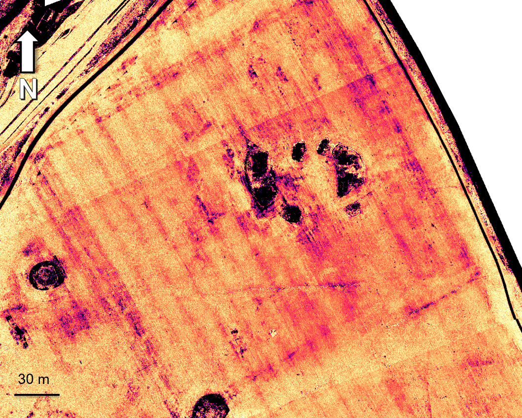
Turns subtle spectral differences into evidence of vegetation stress, crop marks, moisture anomalies, and buried structures.
System profile
The data gap solved
Reveals biological, moisture, and thermal patterns that are invisible in normal photography.
Client advantage
One calibrated dataset supports accurate documentation plus advanced analytical layers.
Structured outputs
Applied in
01
Inventory, biomass, vegetation health, fire severity, terrain, and repeatable environmental change.
Explore solution →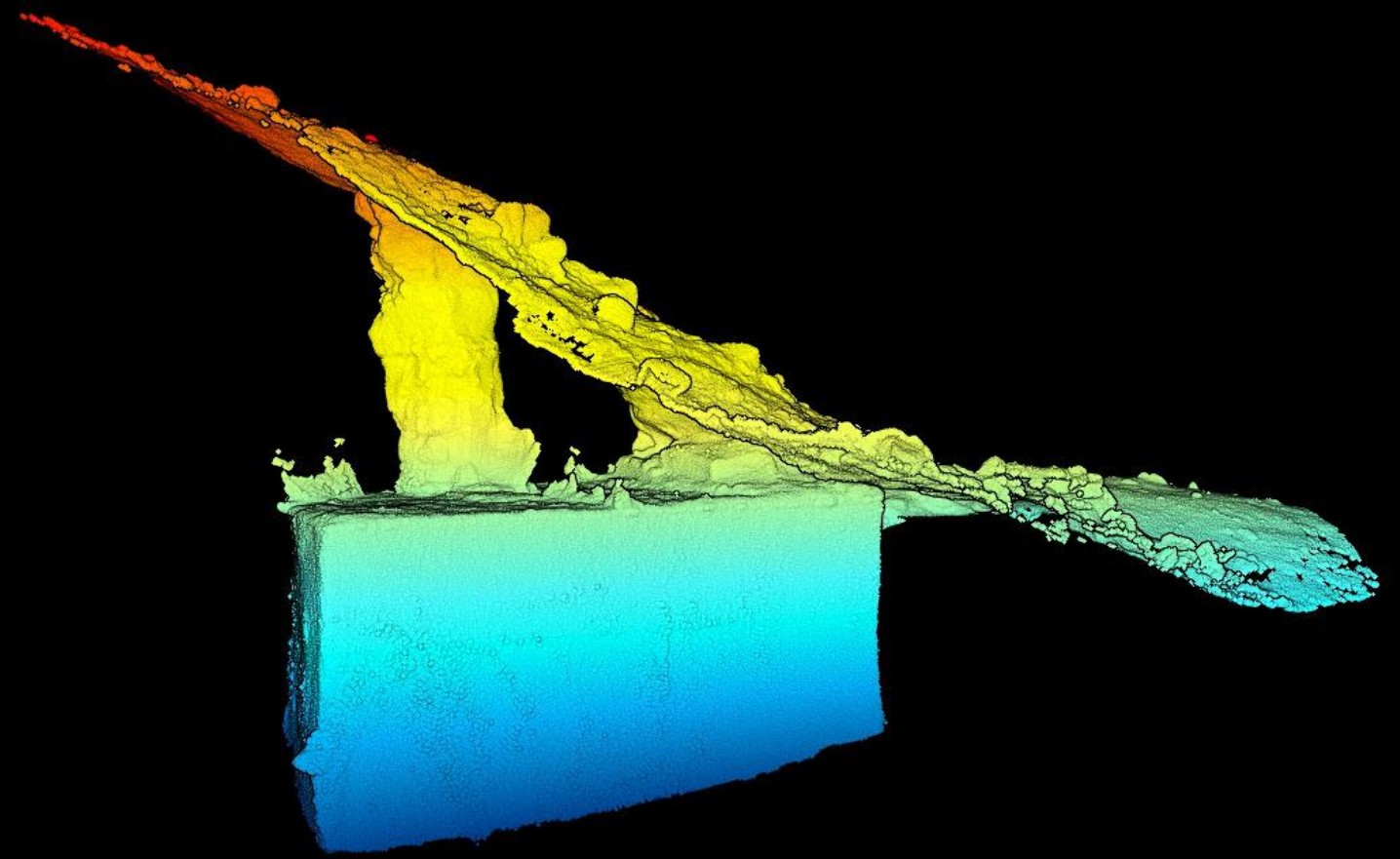 02
Archaeology, caves, tunnels, ground movement and problems without a standard method, from ancient copper slag to GPS-denied underground spaces.
Explore solution →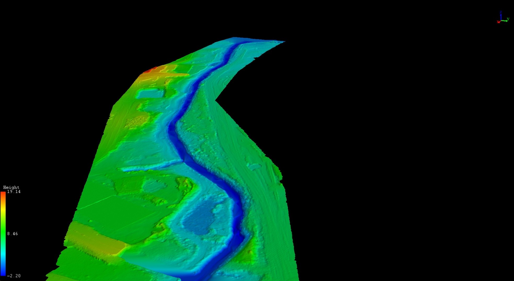 03
Bare-earth terrain beneath riparian vegetation, repeat monitoring of banks, channels and stream vegetation, and flood-model-ready surfaces.
Explore solution →Project evidence
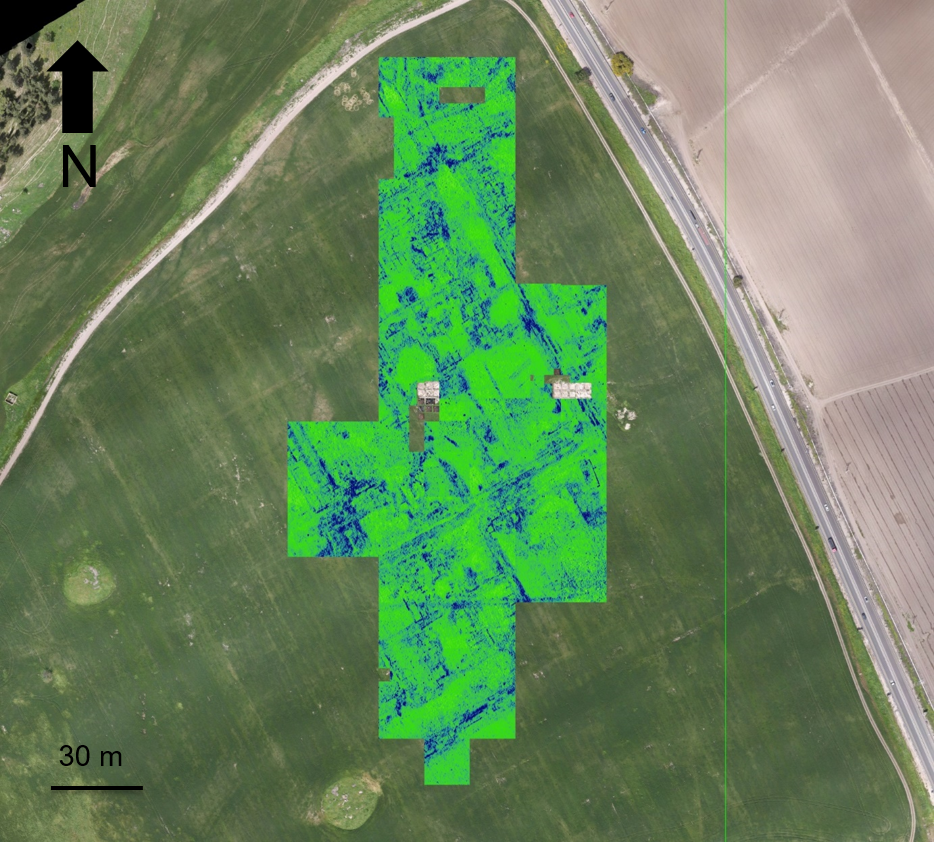
Non-invasive surface and subsurface mapping of archaeological features.
View project →
Pre-thinning inventory, forest structure, tree condition, and repeat monitoring.
View project →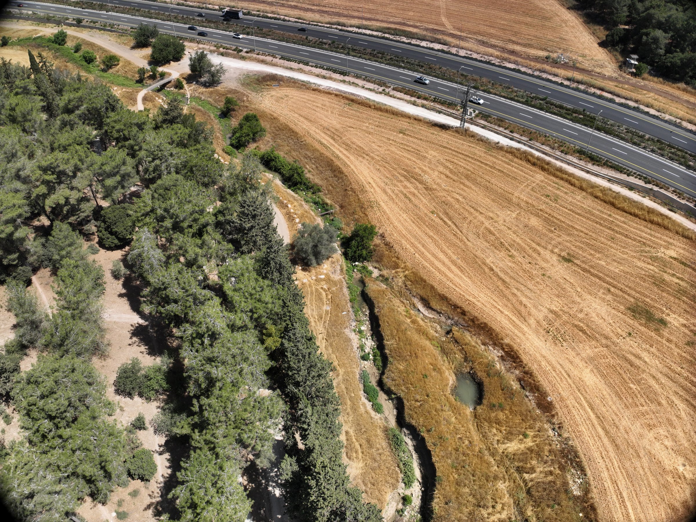
Drone LiDAR and high-resolution aerial imagery of restored stream segments for the Kishon Drainage and Rivers Authority, with repeat surveys to track erosion and deposition over time.
View project →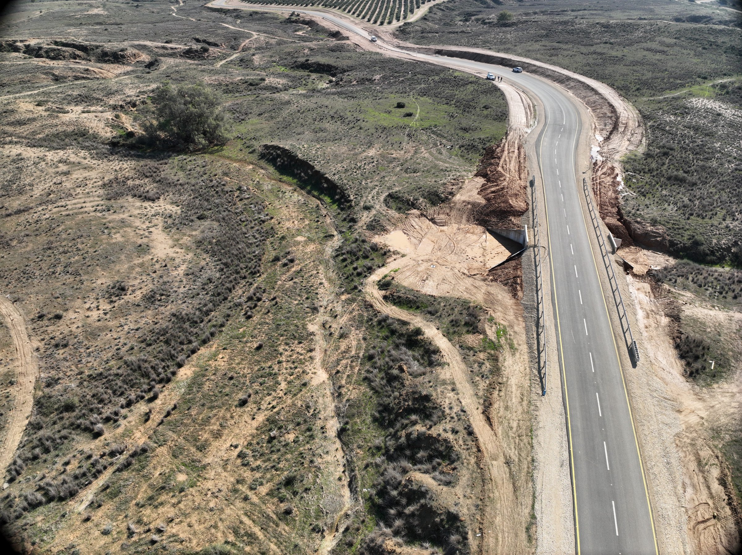
Repeat drone LiDAR surveys for the Deshe Institute and the Israel Nature and Parks Authority, monitoring how a new road built across the reserve during the war affects runoff, erosion and vegetation.
View project →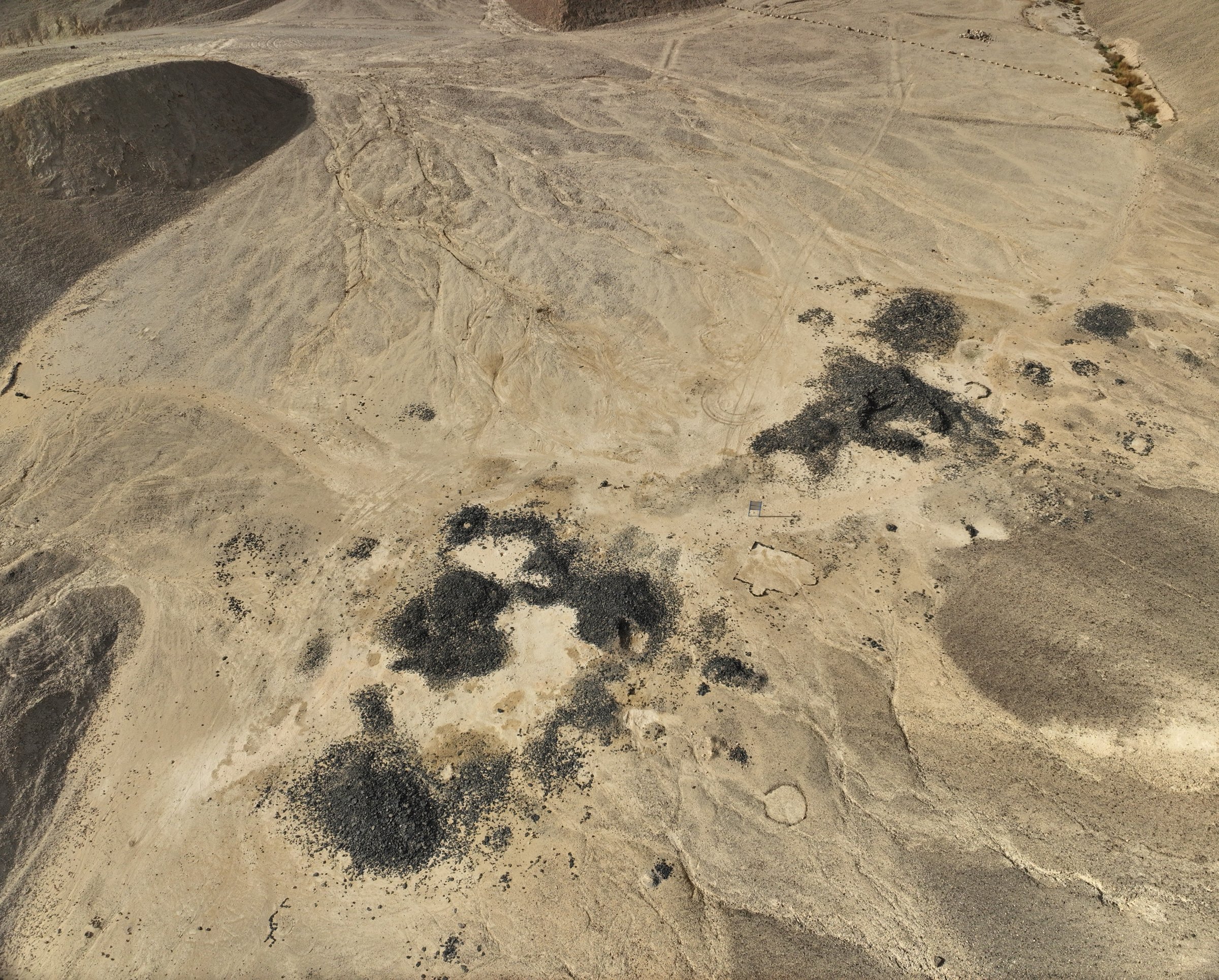
Machine-learning detection of ancient copper-smelting slag from drone and national orthophoto imagery, with Prof. Adi Eliyahu Behar (Ariel University), Prof. Naama Yahalom-Mack (The Hebrew University of Jerusalem), Dr Uzi Avner (Arava Institute) and the Geological Survey of Israel.
View project →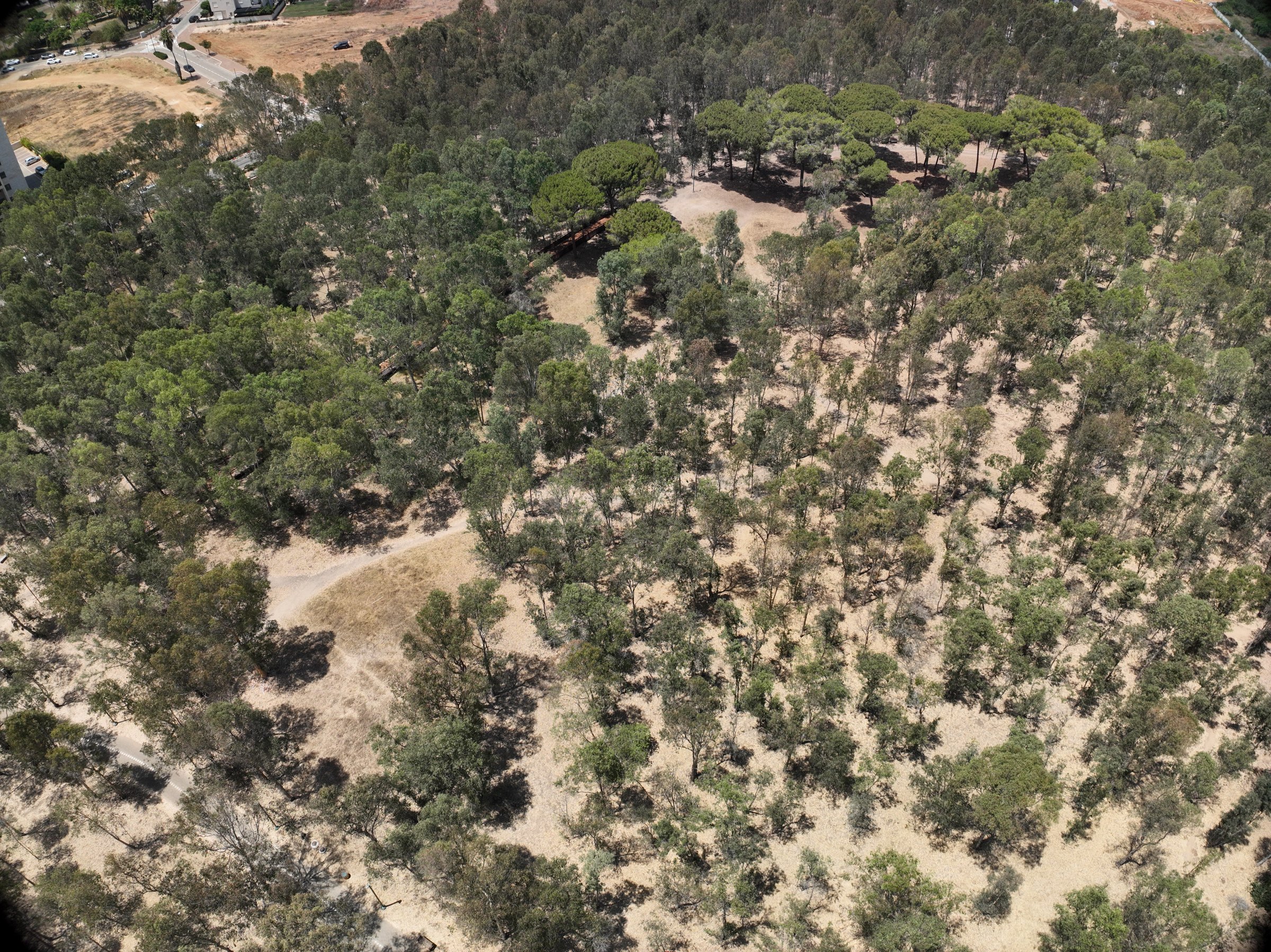
Drone LiDAR and multispectral survey of an urban nature grove for KKL – Jewish National Fund, mapping every individual tree and its vitality.
View project →
Integrated aerial and underground mapping of a Nabataean–Byzantine site for the University of Haifa research team led by Dr. Sina Lehnig and Prof. Gil Gambash.
View project →