
The challenge
Erosion progresses over time and may be obscured by vegetation, seasonal change, and inconsistent observation points.
Field project
Repeat topographic monitoring of bank position, terrain, and landscape change.
The challenge
Erosion progresses over time and may be obscured by vegetation, seasonal change, and inconsistent observation points.
The DynamicSense intervention
DynamicSense established a repeatable geospatial baseline and compared later surveys to isolate measurable bank and terrain change.
Outcomes & decision support
The evidence helps managers prioritize inspection, restoration, and longer-term monitoring around the areas changing most.
Structured outputs
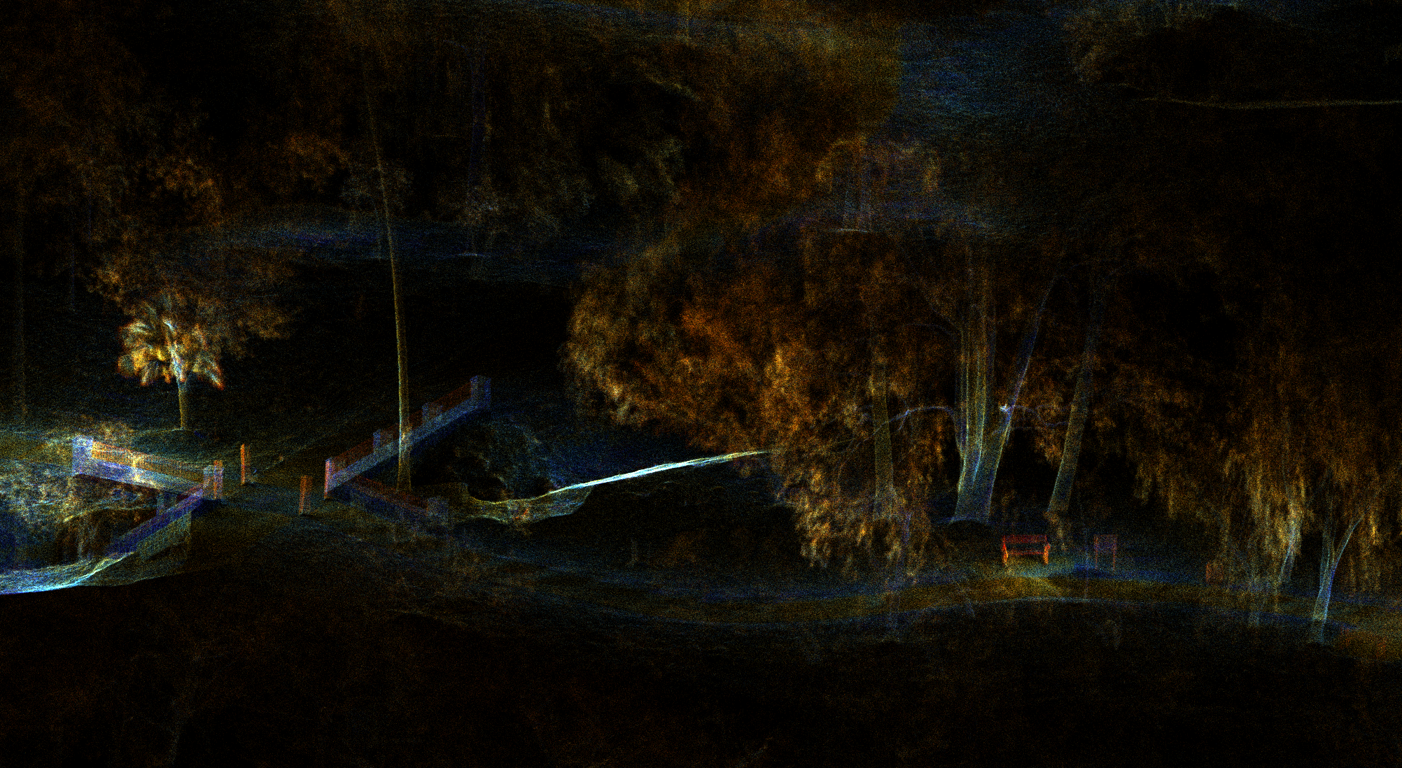
Project imagery
Connected content
Consultation
We will help identify the right combination of capture, analysis, and deliverables.
Consult an expert →