Home/Projects/Mitzpe Shivta: Surface-to-Underground Mapping of an Ancient Desert Site

Field project

Mitzpe Shivta: Surface-to-Underground Mapping of an Ancient Desert Site

Integrated aerial and underground mapping of a Nabataean–Byzantine site for the University of Haifa research team led by Dr. Sina Lehnig and Prof. Gil Gambash.

Mitzpe Shivta: Surface-to-Underground Mapping of an Ancient Desert Site
Location
Mitzpe Shivta, Negev Highlands
Status
Completed
Goal
Document the whole site, its hidden cave complex and its inscriptions in one accurate spatial record for ongoing archaeological research.
Data
Centimetre-level orthophoto; unified aerial and handheld point clouds
Environment
Desert ruins, narrow underground passages and chambers, a rock-cut cistern
Duration
2025

The challenge

The site’s most important spaces are underground: a complex of rooms linked by narrow, dark burrows where GPS does not reach. The researchers needed these spaces positioned precisely in relation to the ruins above, together with a lasting record of the inscriptions.
The DynamicSense intervention

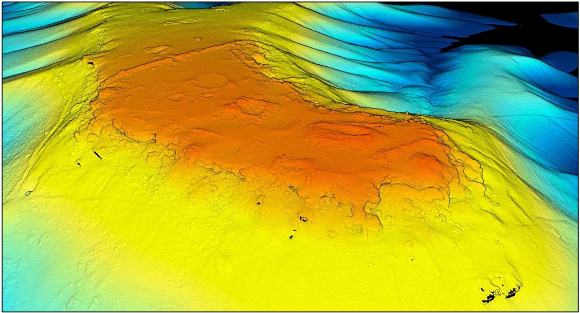
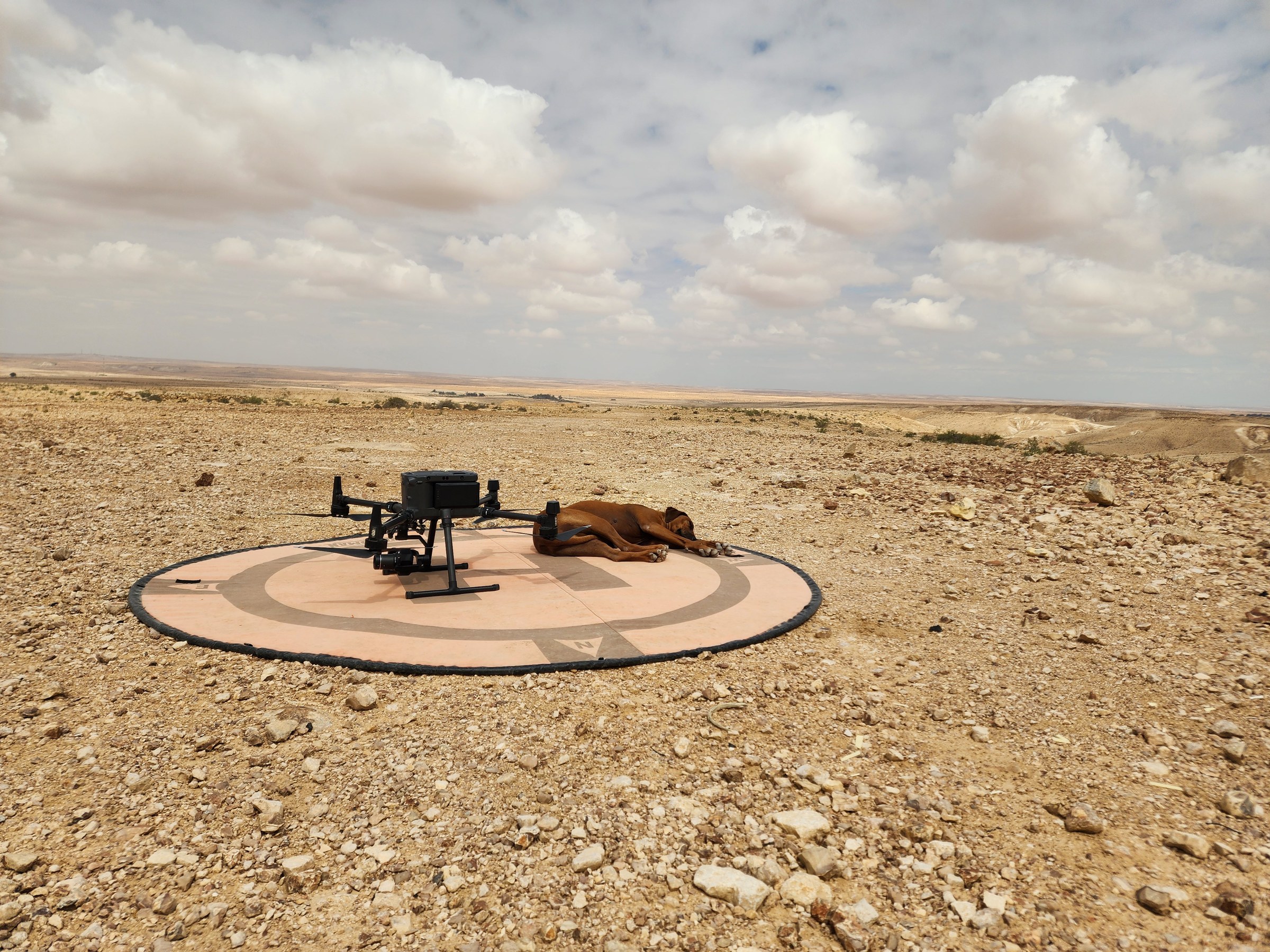
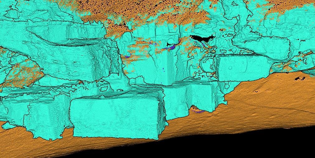
We combined a drone LiDAR and imagery survey of the whole site with a handheld SLAM scan of the cave complex, tied both to the same ground control and merged them into a single point cloud. Inscriptions and key architectural elements were captured as detailed 3D models.

Outcomes & decision support

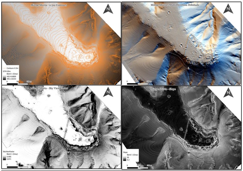
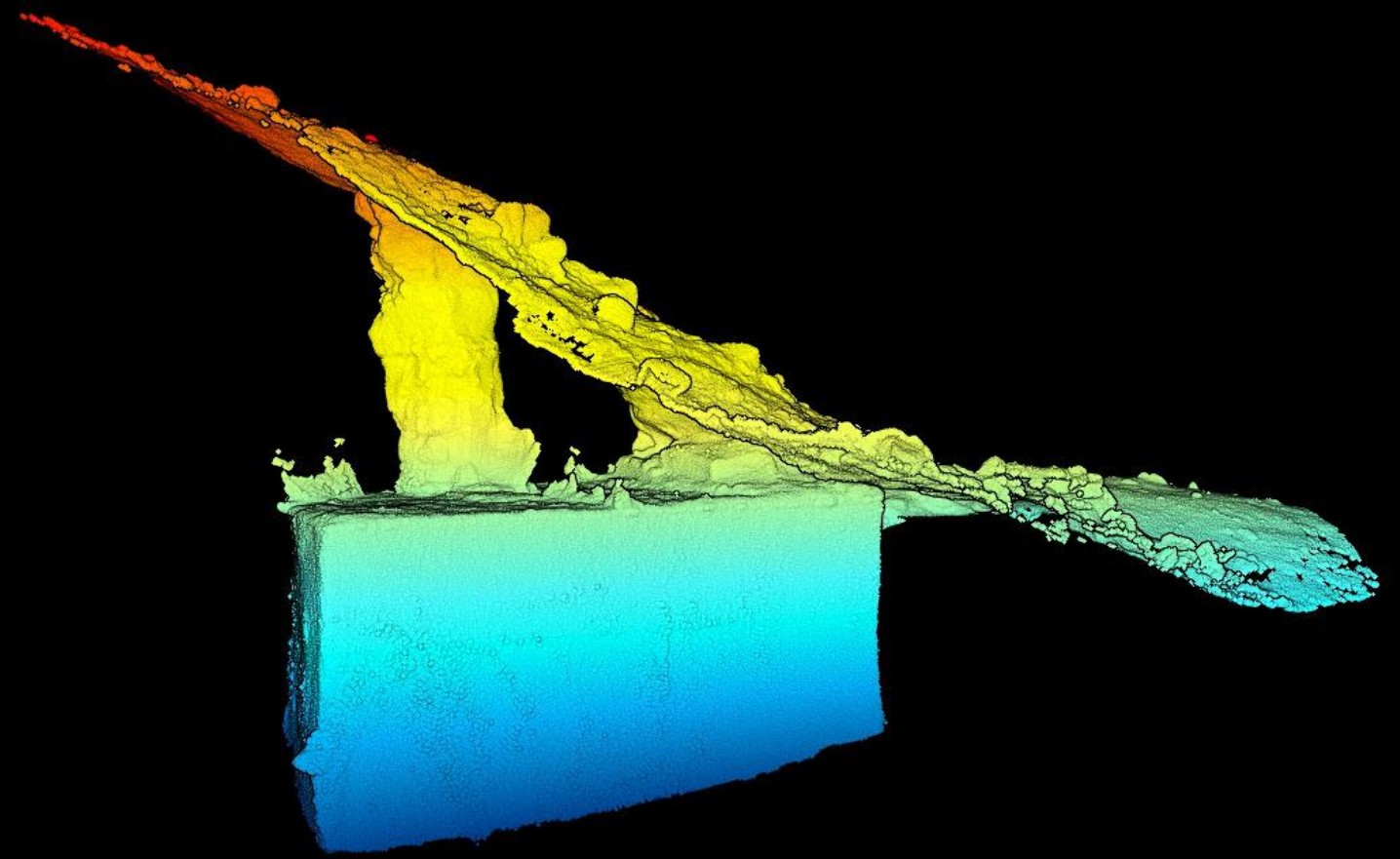
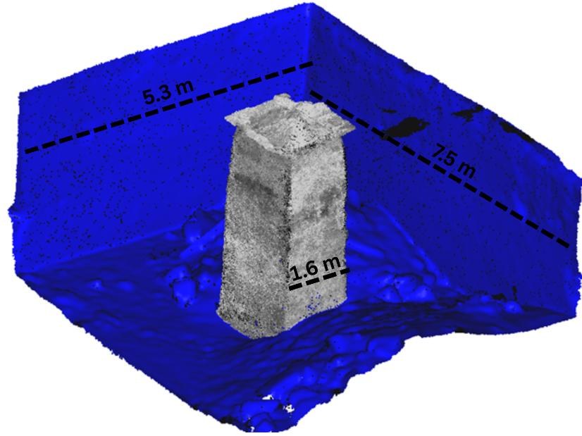
The team received one unified 3D record of surface and underground spaces, terrain products for archaeological interpretation, cross-sections through the halls and an estimate of the cistern’s original capacity, reconstructed from the depth markings carved into its central column.

Structured outputs

Methods & outputs

  • Drone LiDAR and high-resolution aerial imagery
  • Handheld SLAM LiDAR in GPS-denied cave passages
  • Fusion of aerial and underground point clouds
  • 3D modelling of inscriptions and architectural details
  • Unified point cloud
  • Orthophoto and terrain models
  • Cross-sections through the cave complex
  • Cistern volume analysis
  • 3D models of inscriptions
Aerial and underground in one coordinate systemDatasets fused
Halls, passages and cistern measured in 3DUnderground spaces

Project imagery

Evidence from the survey

Consultation

Start with the site challenge

We will help identify the right combination of capture, analysis, and deliverables.

Consult an expert →