
Overview
Engineering-grade insight for underwater, surface, and transition environments using the right combination of LiDAR, sonar, hydrometry, imagery, and satellite analysis.
Solution
Bathymetry, sediment, water level, flow, sampling, erosion, capacity, and marine-infrastructure mapping.
Overview
Engineering-grade insight for underwater, surface, and transition environments using the right combination of LiDAR, sonar, hydrometry, imagery, and satellite analysis.
The challenge
Water environments are dynamic, operationally difficult, and full of blind spots between the bank, shallow water, and deeper bathymetry.
Our approach
We deploy Green Wave LiDAR, drone-mounted echosounders, remote sampling, water-level control, flow analysis, and satellite monitoring according to depth, access, and water conditions.
The intelligence
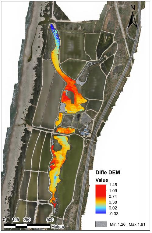
Temporal comparison turns bathymetry and imagery into rates of sediment accumulation, erosion, water-volume change, surface flow, and water-quality indicators.
The value
Reliable spatial evidence supports reservoir capacity, dredging, coastal protection, hydrology, water quality, and safe maintenance planning.
Structured outputs
Connected technology
Related work
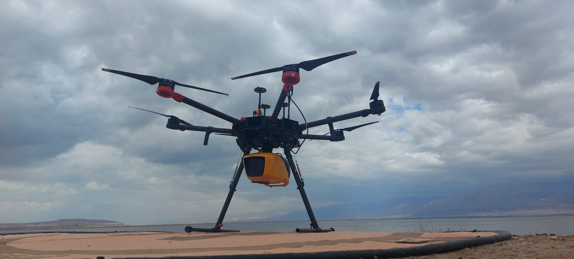
Integrated mapping of riverbank, shallow transition zones, and underwater terrain.
View project →Repeat topographic monitoring of bank position, terrain, and landscape change.
View project →Consultation
We will help frame the acquisition, analysis, and decision-support workflow around your site.
Consult an expert →