Home/Projects/Makhtesh Be’eri: Monitoring a New Road’s Impact on a Nature Reserve

Field project

Makhtesh Be’eri: Monitoring a New Road’s Impact on a Nature Reserve

Repeat drone LiDAR surveys for the Deshe Institute and the Israel Nature and Parks Authority, monitoring how a new road built across the reserve during the war affects runoff, erosion and vegetation.

Makhtesh Be’eri: Monitoring a New Road’s Impact on a Nature Reserve
Location
Makhtesh Be'eri Nature Reserve, western Negev
Status
Ongoing Monitoring
Goal
Detect and measure erosion, gullying and deposition before and after the rainy season, and test whether change is concentrated near the road.
Data
Centimetre-level orthophoto; sub-metre terrain models from repeat LiDAR
Environment
Loess badlands with active gullies, a new paved road, culverts and cultivated fields
Duration
2025 – ongoing

The challenge

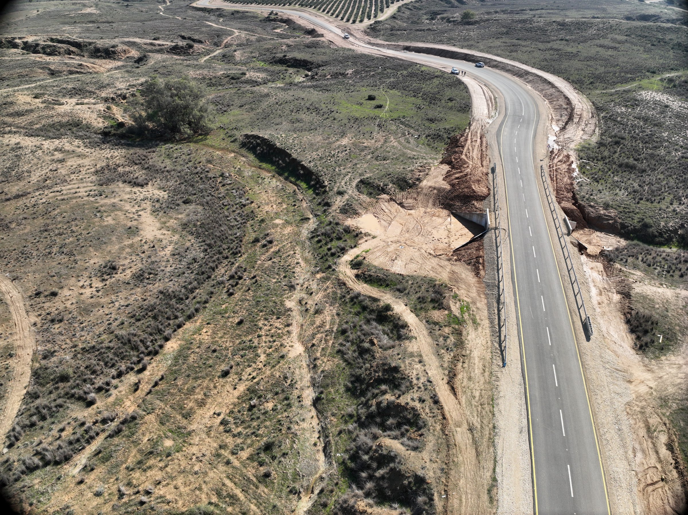
A new road now crosses the reserve at an angle to the natural drainage. Ecologists needed to know whether it was changing runoff and triggering erosion, in a sensitive landscape close to the Gaza border where every flight required coordination with multiple authorities.
The DynamicSense intervention

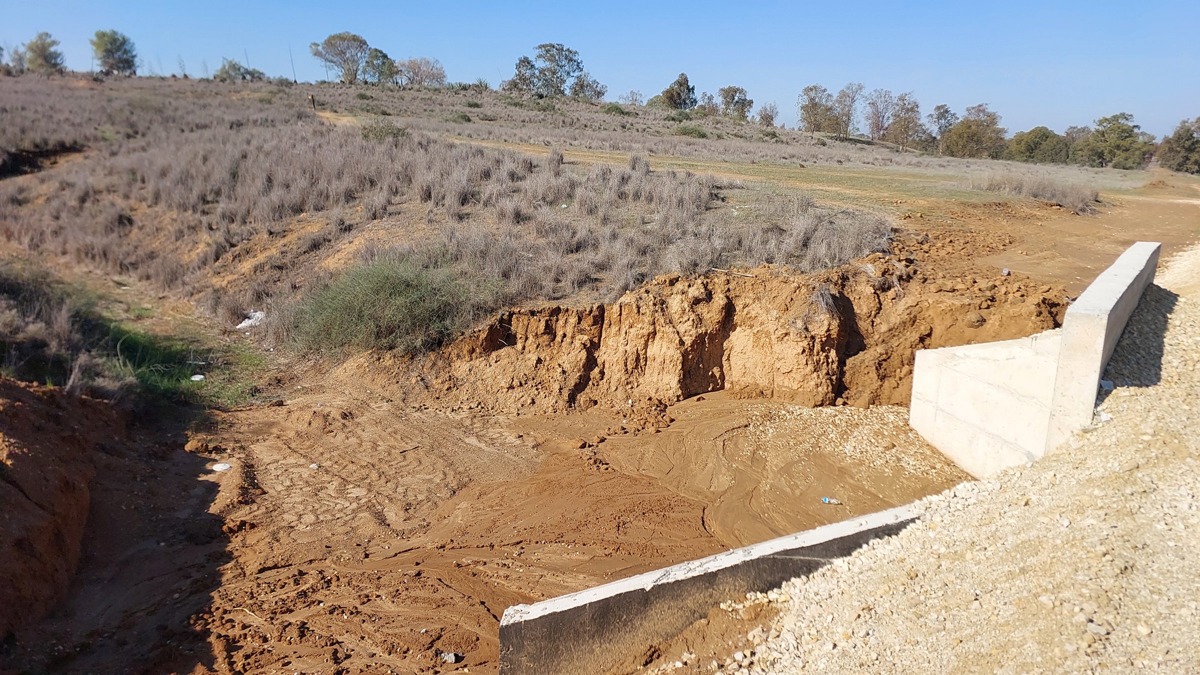
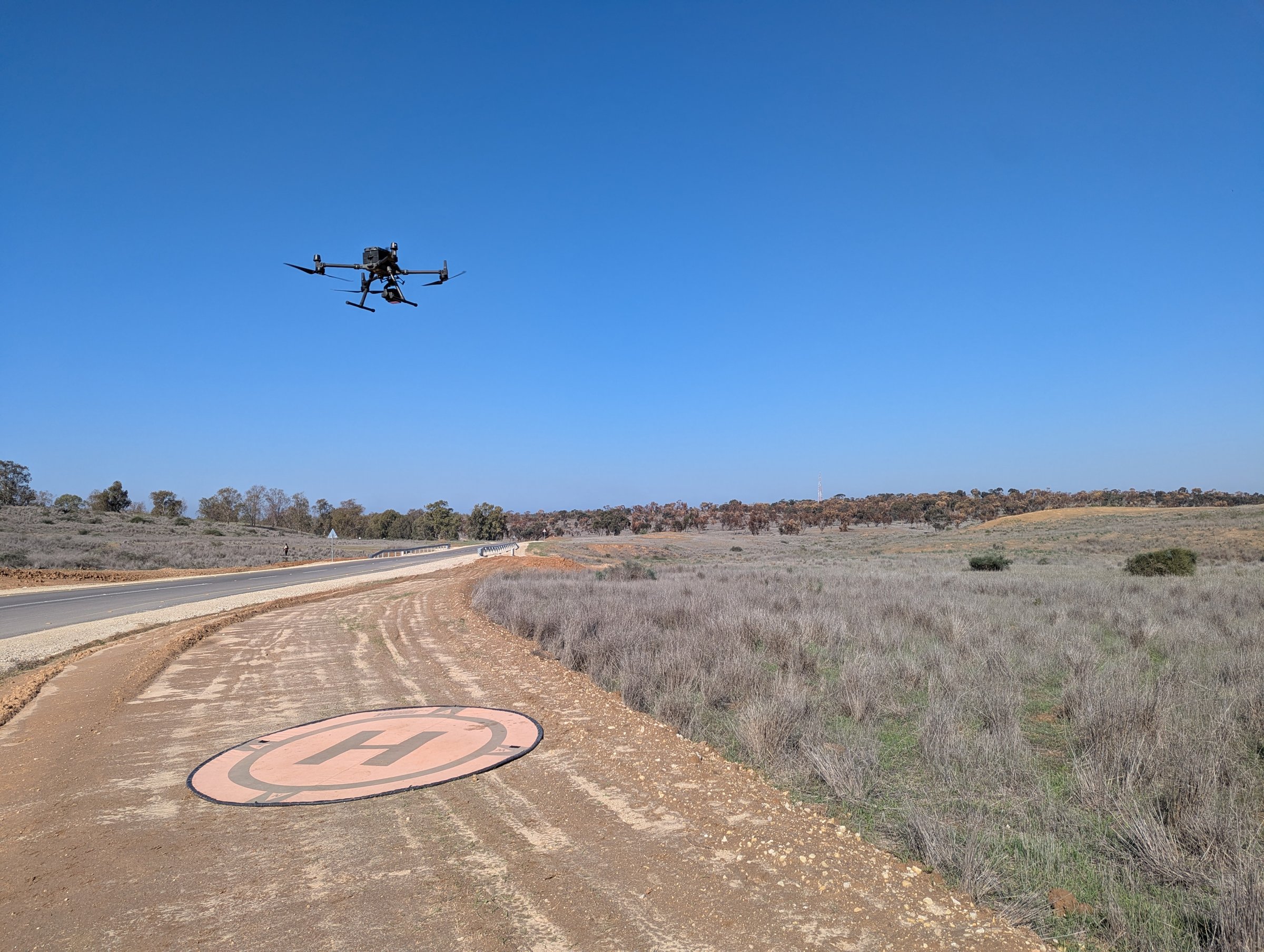
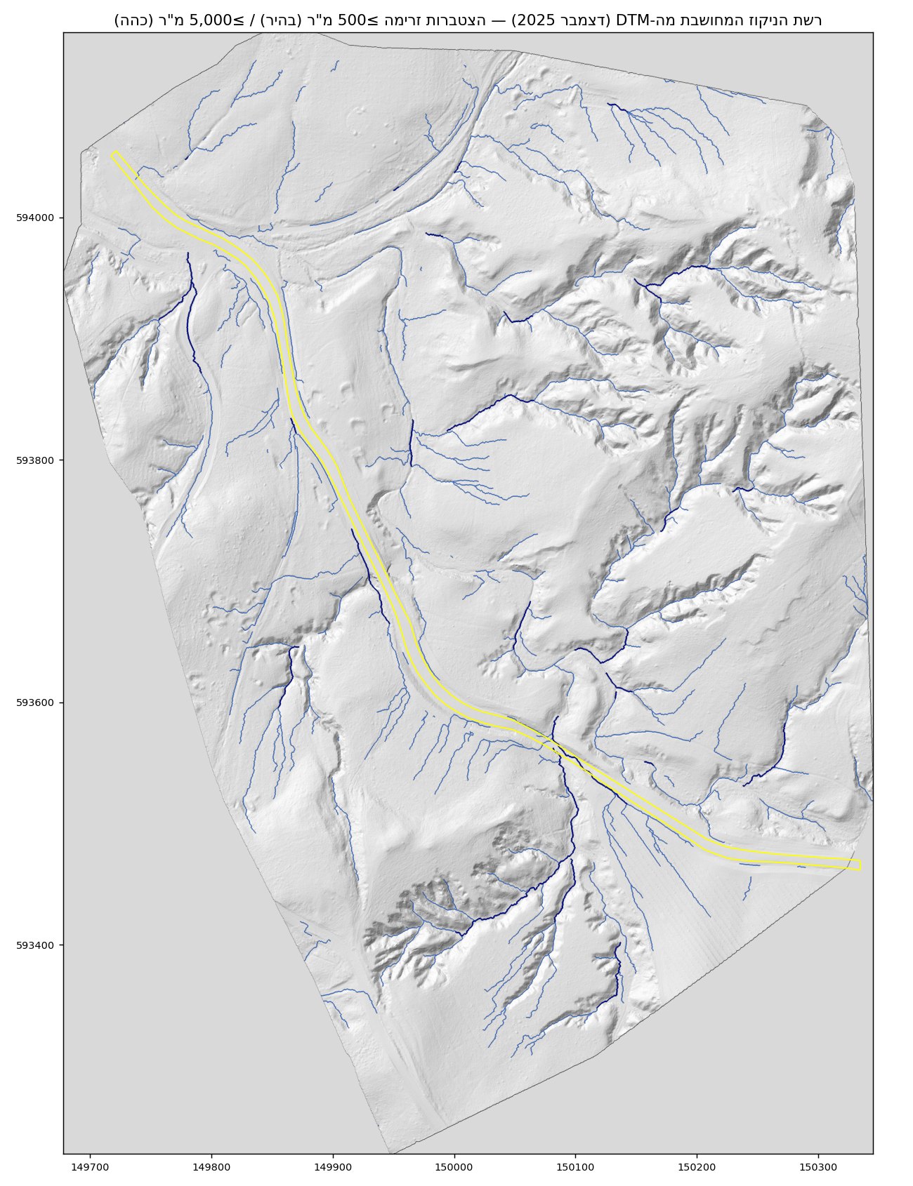
We surveyed the corridor with drone LiDAR before the winter and again at the end of the rainy season, using identical flight plans. After aligning both models on stable surfaces, we mapped where ground was lost or gained, traced the new drainage paths and cut cross-sections through the largest collapse sites.

Outcomes & decision support

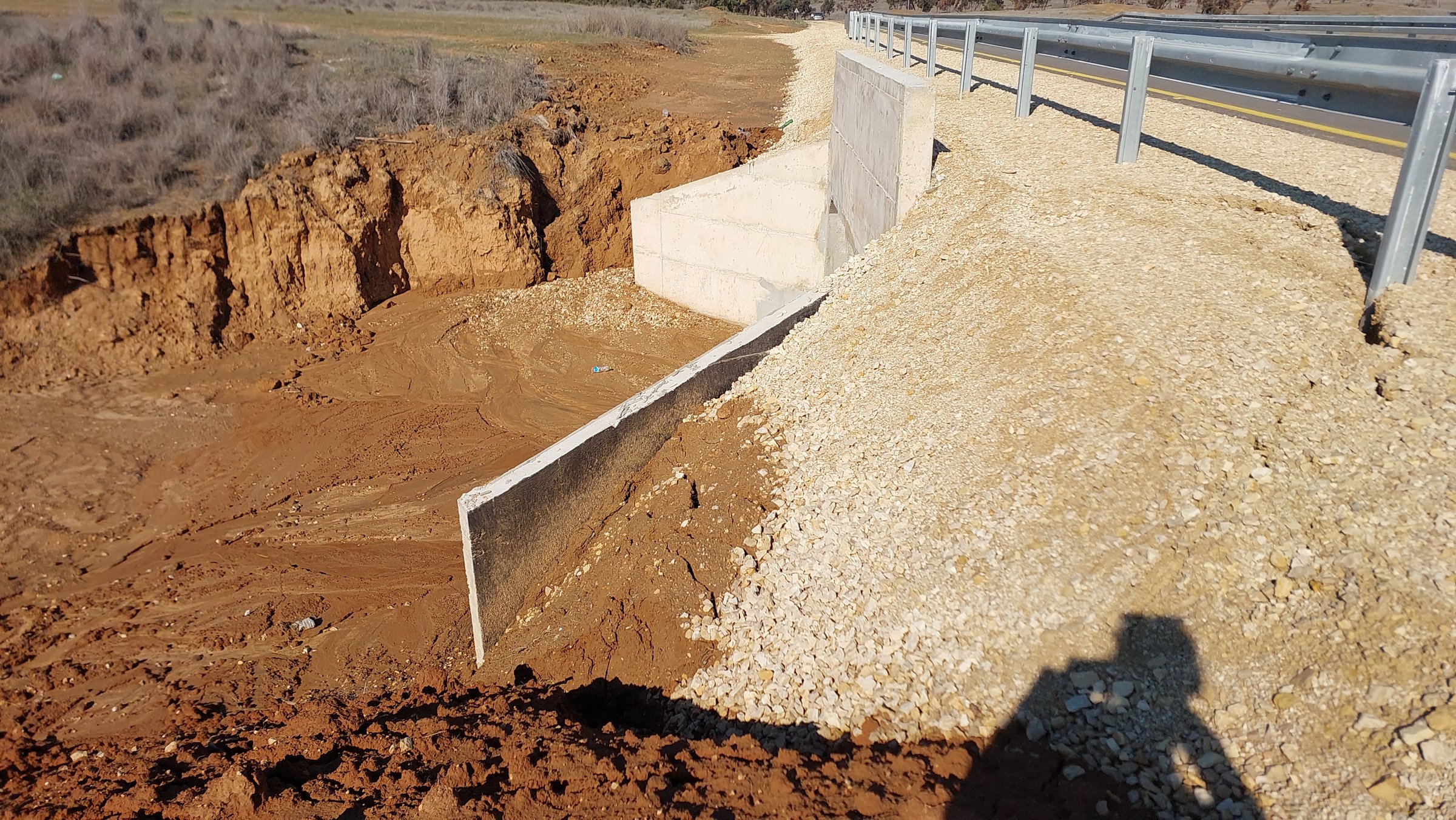
The results gave the reserve a clear, measurable signature of the road’s impact: erosion clusters tightly along the road and fades with distance, with distinct collapse points at the embankment and culverts. The baseline supports restoration decisions and future monitoring rounds.

Structured outputs

Methods & outputs

  • Repeat drone LiDAR with identical flight plans
  • Vertical co-registration on stable surfaces
  • DEM-of-difference change detection
  • Drainage-network and cross-section analysis
  • Terrain models for each survey
  • Erosion and deposition change maps
  • Drainage-network analysis
  • Cross-sections through collapse sites
Pre-winter and end of rainy seasonSurvey rounds
Erosion concentrated along the road, fading with distanceKey finding

Project imagery

Evidence from the survey

Consultation

Start with the site challenge

We will help identify the right combination of capture, analysis, and deliverables.

Consult an expert →