
The challenge
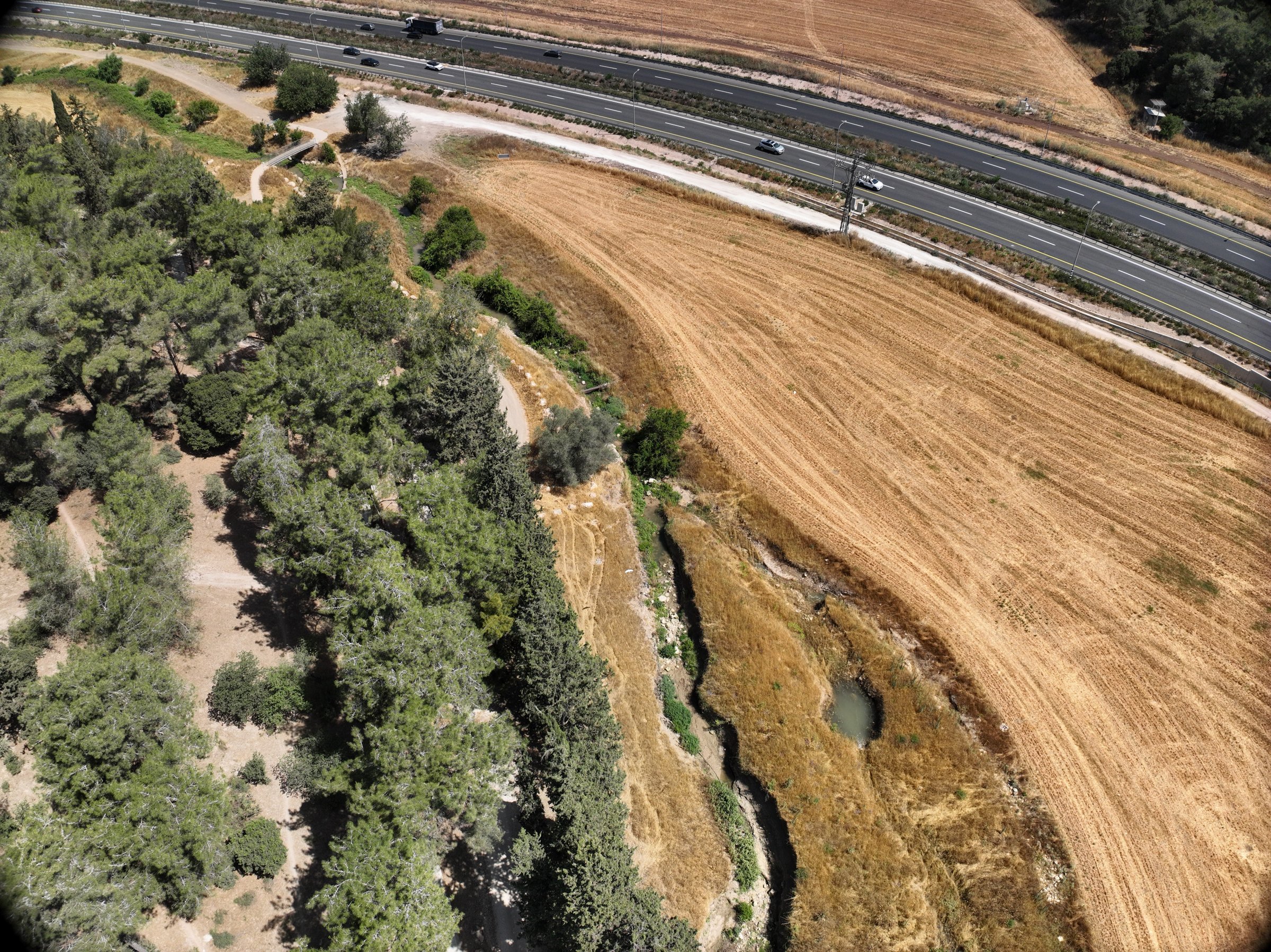
After major channel works, the authority needed to know where banks were failing and whether seeding and maintenance treatments were actually reducing erosion. A winter flood reshaped parts of the channel shortly before the survey.
Field project
Drone LiDAR and high-resolution aerial imagery of restored stream segments for the Kishon Drainage and Rivers Authority, with repeat surveys to track erosion and deposition over time.
The challenge
After major channel works, the authority needed to know where banks were failing and whether seeding and maintenance treatments were actually reducing erosion. A winter flood reshaped parts of the channel shortly before the survey.
The DynamicSense intervention
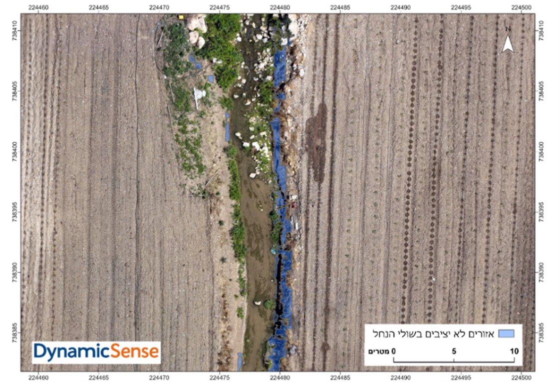
We mapped the stream segments with drone LiDAR and high-resolution imagery, separated ground from vegetation, classified land cover and flagged steep, bare banks as unstable. Treatment plots were then compared segment by segment.
Outcomes & decision support
The authority received a quantitative baseline for hydrological and ecological planning, CAD-ready survey data and an evidence-based comparison of bank treatments. The follow-up survey will measure erosion and deposition directly.
Structured outputs
Project imagery
Connected content
Consultation
We will help identify the right combination of capture, analysis, and deliverables.
Consult an expert →