
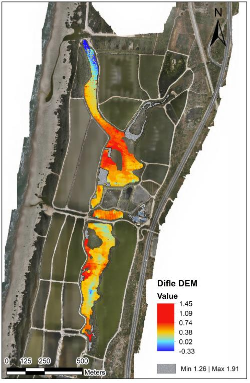
 01
01
Water Reservoirs & Coastal Monitoring
Bathymetry, sediment, water level, flow, sampling, erosion, capacity, and marine-infrastructure mapping.
Explore solution →Technology & capability
Drone-integrated dual-frequency sonar for accurate depth profiles and soft-sediment thickness.

The technical edge
Dual-frequency single-beam sonar distinguishes hard bottom from soft muck or sediment while a drone removes the need for a crewed vessel.
Strategic advantage
Operates efficiently in shallow, sensitive, hazardous, or boat-inaccessible water bodies.
System profile
The data gap solved
Collects dependable depth data where launching a boat is unsafe, inefficient, or impossible.
Client advantage
Supports dredging, capacity, sediment, and water-infrastructure planning with lower operational exposure.
Structured outputs
Applied in
01
Bathymetry, sediment, water level, flow, sampling, erosion, capacity, and marine-infrastructure mapping.
Explore solution →