
 01
Reservoirs, Lakes & Coast
Drone bathymetry joined to the shoreline: depth, capacity, sediment and water level, bank to bottom in one continuous model.
Explore solution →Technology & capability
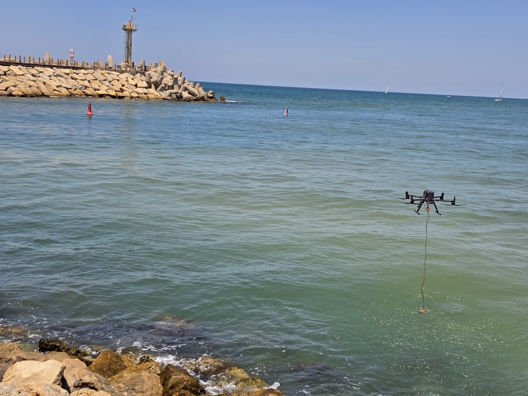
Repeatable drone-based water collection at defined coordinates and depths.

The technical edge
A remotely deployed sampler retrieves water from a controlled location and depth without a manned boat.
Strategic advantage
Improves safety and consistency in polluted, hazardous, or inaccessible water.
System profile
The data gap solved
Reaches water that is unsafe or impractical for a crewed sampling platform.
Client advantage
Creates a safer and more repeatable sampling workflow for laboratory and monitoring programs.
Structured outputs
Applied in
01
Drone bathymetry joined to the shoreline: depth, capacity, sediment and water level, bank to bottom in one continuous model.
Explore solution →